


Thunderstorms are predicted to hit the country.
Photo: Iris Gal
Stormy weather headed Israel's way
Following several warmer days, another short wintery period is ahead. North Israel will experience rain that may help replenish the Sea of Galilee, large waves will hit the coasts, and strong winds will cross the country.

Following a few dry, warm days, rain began in the north of Israel during the early Saturday hours. Most of the rainfall was in the northern Golan Heights and the Upper Galilee area, but some hit the Sea of Galilee as well – assisting the rise of Israel's biggest natural fresh water source after a fairly lackluster season so far.
")
Winds are expected to strengthen further during Saturday, and temperatures will be markedly lower. Rainfall is expected from the north to the northern regions of the Negev in southern Israel, and Mount Hermon is expected to experience snowfall starting in the afternoon. There is a danger of floods in coastal towns and other risk areas during Saturday night.
")
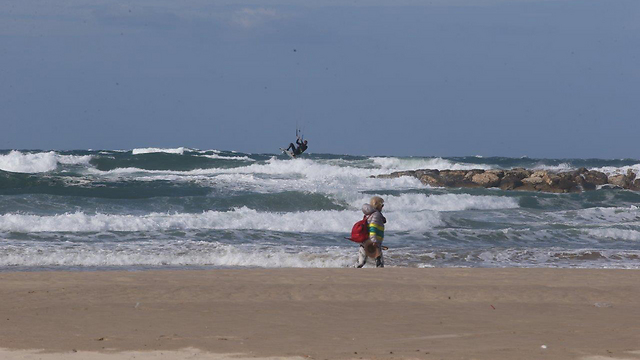
Big waves are expected to hit the Mediterranean coast. (Photo: Motti Kimchi)
The Mediterranean Sea is expected to experience 30-50 KPH winds, with stronger gusts of up to 80 KPH coming later. Wave height is expected to fluctuate between three and eight meters.
Sunday is expected to have intermediate rain showers, accompanied by thunderstorms from the north to the upper Negev. Temperatures will be colder than usual for this time of year, but winds are expected to calm, and the rain will begin to abate during nighttime. Waves are expected to be about seven meters high. Monday is predicted to be partly cloudy with a slight rise in temperatures.