Channels

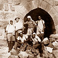
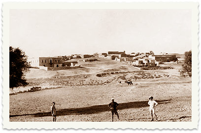
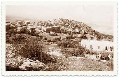
A. Khan al-Ikbi on convoys road in Shan – Afek – Kfar Haruv – Tzemach, 1933
B. Second synagogue (the remnants of which disappeared) in Kfar Baram, 1931
C. Muqataa Aboud, May 7, 1932
D. Salka, Tel Safra, with a casquette – Dr. Boger (Bograshov), 1932
E. Swamp ground in Jaffa (Basa ground in Jaffa)
F. Opening of Sandhana cave near Beit Jubrin
G. Amman

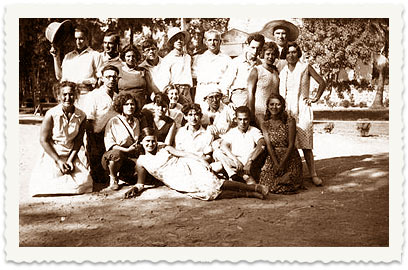
With a stick and a backpack: Hikes in 1920s – part 3

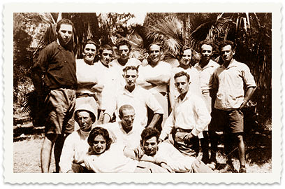
Haim Berger immigrated to Israel from Ukraine in 1921. After studying the general history and history of the Land of Israel, he guided tours across country and its surroundings. Third story in series

Haim Berger (1900-1983) was born in the town of Sambor (Lviv, Ukraine). He joined the Shomer Hatzair Movement and immigrated to Israel with the group in 1921. He later worked in construction and agriculture, and in 1928 began studying general history and history of the Land of Israel at the Hebrew University.


He then began working as a tour guide across the country and its surroundings, and engaged in research of the history of the land. He published articles in newspapers and released a book.


Several weeks ago, we launched a series of articles featuring a selection of Berger's photographs which were taken during his hikes, with his original captions. As some of the places' names have changed over time, we would appreciate our readers' help in revealing these places' current names.


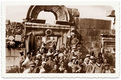
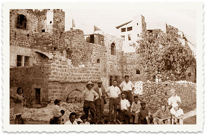
1. Ancient synagogue in Baram on Working Youth trip, Passover 1932


2. Greek church in Aboud, May 1932


3. Kfar Hashiloach, 1932


4. Village of Beit Jubrin


5. Nebi Gabriel in Beit Jubrin


6. Opening of Dibon Cave (cave area near Luzit)


7. People of the village of Ajour with members of the Land of Israel Wanderers association, 1930


8. The Land of Israel Wanderers association in Ben Shemen, 1930


9. Dakakin near Yavne, 1928


10. Beit Guvrin, Moon Tunnels


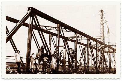
11. Al-Hussein Bridge
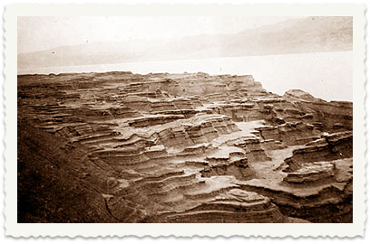
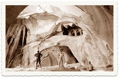


12. Hulda collective settlement, 1927 (two years later, Hulda was attacked in the 1929 events by Arab rioters who murdered settlers and burned down the village)


13. Village of Bayt Mahsir (photographed from the groves), 1932. (In 1948 it was the largest village controlling the road to Jerusalem. It was home to gangs and a squadron of the Arab Legion which attacked any convoy travelling towards besieged Jerusalem. In May 1948, as part of the Maccabi operation, the Harel Brigade managed to conquer the village after three assault attempts. A Norseman aircraft sent to assist in the offensive crashed, and a monument with the plane parts is located on a nearby hill – Har Hatayasim: The Israel Air Force official memorial site. Upon the village's occupation, the supplies and weapons robbed from the attacked convoys were found in the area. The occupation made it possible to open the Burma Road and resume supplies to the besieged city. The village's houses were demolished, and the community of Beit Meir is now located in the area).


14. Demolished ghetto in Hebron, Shavuot 1932


15. Dead Sea lagoon


  • For all trips to the past – click here


פרסום ראשון: 06.26.08, 08:21
 new comment
Warning:
This will delete your current comment