


UN releases Gaza Crisis Atlas documenting damage to Strip
108-page report with high-resolution satellite photos captures extent of destruction in Gaza, to be used by UN committee on Operation Protective Edge.
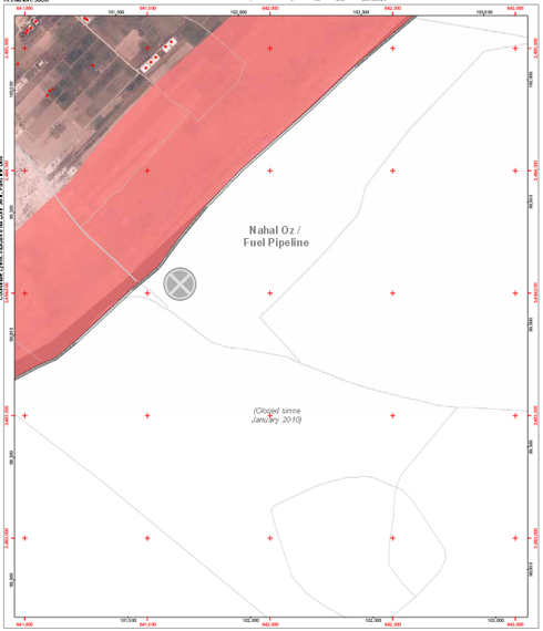
The United Nations released the Gaza Crisis Atlas on Sunday, showing the physical damage wrought on the Strip during IDF Operation Protective Edge using satellite imagery. The 108-page document will be used by a UN investigatory committee on the conflict.
The Atlas overlays a grid over Gaza, dividing it into smaller parcels – with each one receiving a detailed page noting the locations of schools, mosques, and public buildings on high-resolution satellite footage.
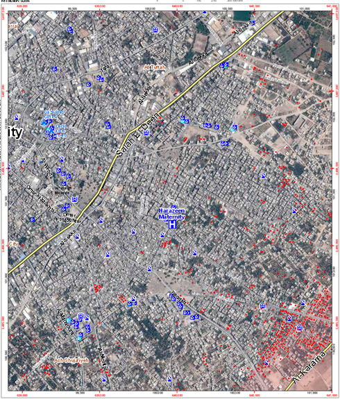
Destruction in Gaza City suburb of Shuja'iyeh
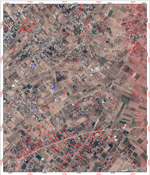
The UN's Office for Coordination of Humanitarian Affairs, which released the document, explained that the damage assessment was based on analysis of satellite photos starting on August 1 and the previous month.
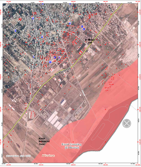
The images were provided by UNOSAT, an organization created in cooperation with the European Organization for Nuclear Research (CERN).
A statement released along with the Atlas said it was a central tool to help humanitarian organizations – or anyone working in Gaza – as well any person who wanted to better understand the consequences of the recent conflict.
The satellite photos clearly show the massive destruction to neighborhoods like Shuja'iyeh, one of the focal points of conflict during the fighting.
Attila Somfalvi, Elior Levy, and Roi Kais contributed to this report.