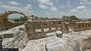
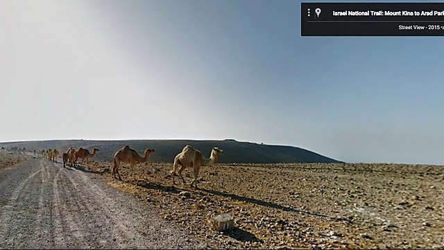
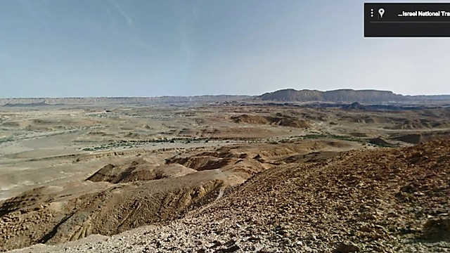
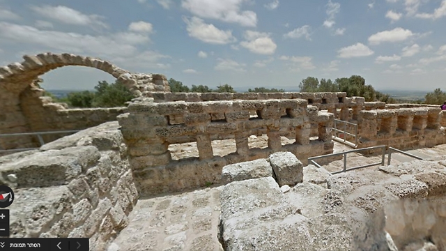
The Israel National Trail (INT), the 1,100 km trail that crosses the entire country from north to south, on Monday became the first such trail to be uploaded to Google's Street View service, in honor of Tu Bishvat (the Jewish New Year of trees).
The path was filmed for three months by 250 staff members of Israel's Society for the Protection of Nature (SPNI) and Google, and is now accessible to anyone in the the world using Google Maps.
The INT was recorded by Google Street view using two Trekker cameras, which younger members of the SPNI carried on their backs. The INT was selected as one of the 20 best trails in the world by National Geographic magazine.
The INT was inaugurated by the SPNI in 1995 in order to create a hiking trail across the entire country. The trail starts at Kibbutz Dan in the north and ends at Eilat Field School in the south and goes through the Galilee, the Carmel, along the Mediterranean coast, Tel Aviv, Rosh HaAyin, Elad, the Modi'in area, the coastal plain, Beit Guvrin, large areas of the Negev and the Eilat Mountains.
Google Street View, launched in May 2007, is currently available in 66 countries. It allows users to virtually navigate the neighborhoods, historic sites, museums, public buildings, and others with an eye-level panoramic view. Since the project's launch, over 9 million kilometers of roads have been included.
The project, which began using vans equipped with cameras, lasers and GPS traveling on roads around the world, has since expanded to include the use of multiple devices, enabling a 360-degree view in various field conditions.
Google Israel CEO Meir Brand said: "After intensive work, we are happy that the Israel National Trail now joins world-renowned heritage and natural sites such as the Loch Ness, Petra and Machu Picchu on Google Maps. We hope many more people in Israel and around the world will be exposed to the beauty of the Israel National Trail and the unique story of the country."


