

The United Nations General Assembly has overwhelmingly backed a resolution encouraging the use of a new world map that represents Africa more accurately relative to other continents, with the United States casting the only vote against the measure.
The resolution passed Friday by 164 votes to one, with Serbia, Estonia, Georgia, Lithuania, Moldova and Ukraine abstaining. Spearheaded by Togo and backed by the African Union, the initiative calls for greater use of the Equal Earth projection instead of the centuries-old Mercator map.
The Mercator projection, developed by Flemish cartographer Gerardus Mercator in 1569 for maritime navigation, significantly distorts the relative size of landmasses, especially those farther from the equator. Africa and Greenland, for example, appear roughly similar in size on a Mercator map even though Africa is actually about 14 times larger.
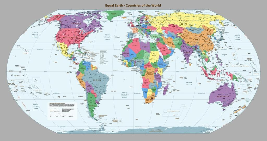
Equal Earth, developed in 2018, is designed to preserve the relative area of continents more accurately while still providing a visually familiar world map. Under that projection, Africa appears far larger than it does on Mercator maps, while regions including North America, Europe and Greenland appear smaller in relation to it.
The UN stressed that the resolution does not ban Mercator maps or require countries and institutions to replace them. Instead, it encourages governments, schools, international organizations, technology companies and others to use Equal Earth or other equal-area projections when accurate comparisons of continental size are important.
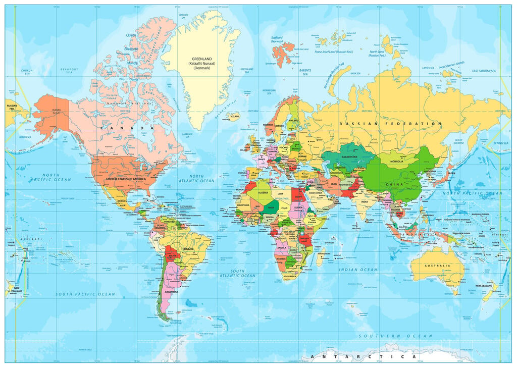
World map in the Mercator projection
(Photo: shutterstock/Cartarium)
“Maps shape our understanding of the world,” Togo’s Foreign Minister Robert Dussey, who promoted the resolution, said. “They guide education, nourish the imagination, and influence collective perceptions.”
France was among the countries welcoming the move. Foreign Minister Jean-Noël Barrot said: “Changing the map obviously doesn’t change the world. But correcting a representation that distorts it is already an act of truth.”
The United States opposed the resolution, arguing that it promoted what Washington described as an “ideological agenda” and distracted from more pressing international challenges.
Supporters of the change argue that the issue goes beyond cartography. The African-led “Correct the Map” campaign says generations of people have grown accustomed to a visual representation of the world that makes Africa appear disproportionately small, shaping perceptions in classrooms, media and public life.
The UN resolution now seeks to make more proportionally accurate maps a broader global norm, while leaving governments and institutions free to choose which projection they use.