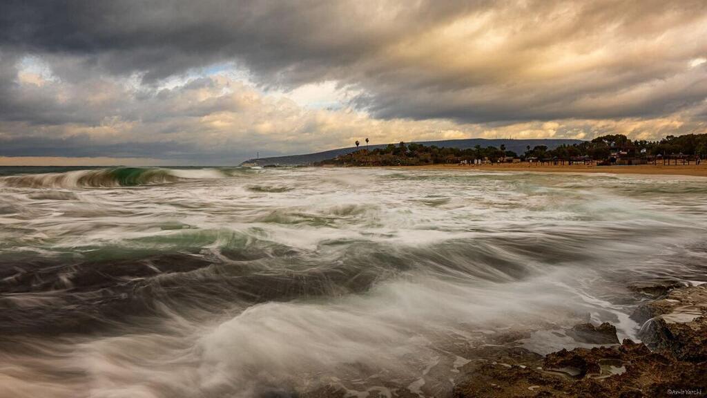
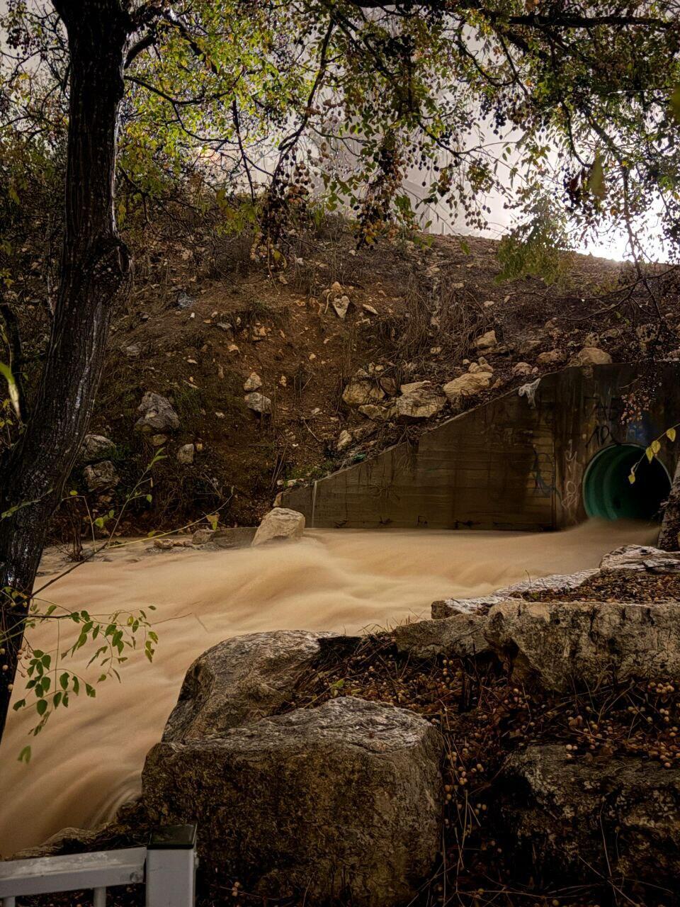
Over two days of heavy rainfall, the "Byron" storm turned the south into a scene of flooding and flash floods: major roads were closed, streams reached unusually high flows, and communities had to carry out numerous rescue operations. At measurement stations along the southern coast and in the western Negev, rainfall totals equivalent to about half of the annual average were recorded - and in some areas this was the wettest 24-hour period since the beginning of the previous decade. Rain is set to return as early as tomorrow, and the first days of Hanukkah are expected to be rainy.
The cold air mass that affected us in recent days is returning, though today (Sunday) temperatures will remain largely unchanged. Localized rain is possible in the morning, mainly along the southern coastal plain, with partly cloudy skies.
On Monday, rainfall will resume from the north down to the central Negev, accompanied by isolated thunderstorms. The focus is again expected to be the Ashkelon area, the Gaza envelope, and the western Negev - where dozens of millimeters of rain are forecast, and in some areas even up to 100 mm within 24 hours - raising renewed concerns about urban flooding and flash floods in streams.
Snow Collecting on Mt. Hermon after "Byron" storm
(photo: Mt. Hermon Site)
From Monday afternoon, rainfall will intensify, and flash floods are also expected in the Dead Sea wadis, the Judean Desert, the Negev, and the Arava up to its central parts, as well as along the southern coastal plain. In addition, temperatures will drop and be slightly below the seasonal average.
On Tuesday, localized rain is expected in most areas, with continued risk of flooding. Strong northerly winds will blow along the coastal plain, and skies will be partly to mostly cloudy. The Meteorological Service has issued an orange alert for heavy rain and flooding for the southern coastal region and parts of the Negev. On Wednesday, light localized rain may still occur, mainly along the southern coast and in the Negev. According to estimates, as a result of this weather system, rainfall totals in the southern coastal areas and the western Negev will reach the annual average - despite the rainy season only just beginning.
A preliminary summary by the Meteorological Service indicates that during "Byron" we experienced an extreme and rare rainfall event that occurs only once every 10 to 30 years in terms of its spatial distribution and accumulated amounts, particularly along the southern coast. On Thursday and Friday, about half of the total annual rainfall for the region fell along the southern coast and in the western Negev. The stations recording the highest rainfall totals were Yad Mordechai with 176 mm, Kibbutz Erez with 168 mm, Gevaram with 156 mm, and Telami Yafe with 154 mm.
In the Gaza envelope, between Thursday and Friday, this was the wettest 24-hour period since 2013, and at some stations since 1991. The heavy rains led to flash floods nearing historic peaks in local streams - especially in the Shikma stream basin and its tributaries - road closures on routes that had not been closed in years, if ever, such as Route 6 at the Ma’ahaz interchange, Route 40, Route 232, and others, as well as an unusually high number of flooding incidents and rescues in Ashkelon and surrounding communities.
Lightning at Rosh Ha'Nikra
(photo: Amir Yerechi)
The highest rainfall totals during "Byron" were recorded in the Carmel and Carmel Coast areas, where about 200–220 mm fell: 221 mm at Nahal Me’arot, 215 mm in Atlit, 210 mm at Kibbutz Hahotrim, and 209 mm at Moshav Nir Etzion. In the Shfela region, about 100–150 mm fell, mainly on Thursday, when widespread flooding developed in Yavne and nearby communities.
Forecast temperatures for today and tonight (°C):
Jerusalem 9–16, Tel Aviv 13–20, Haifa 13–19, Safed 8–14, Katzrin 9–18, Tiberias 12–19, Nazareth 12–17, Afula 10–20, Beit She’an 12–20, Lod 13–20, Ashdod 13–21, Ein Gedi 13–19, Beersheba 11–19, Mitzpe Ramon 9–15, Eilat 14–22.


