

A massive earthen barrier stretching more than 23 kilometers across the Gaza Strip is separating territory controlled by the IDF from areas where most of the enclave’s Palestinian population remains, satellite images show.
The images, captured by Planet Labs PBC and reviewed by The Associated Press, show the barrier running along sections of the Yellow Line from northern Gaza toward the south. The findings were also published by The Washington Post.
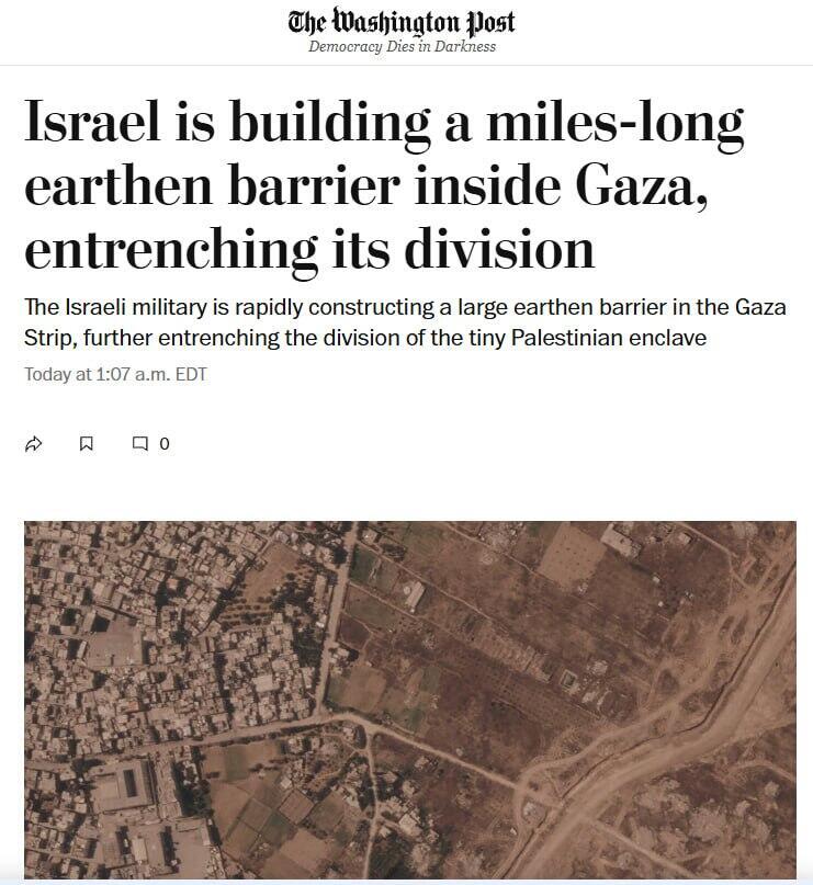
The IDF confirmed the barrier’s existence after being shown the images, saying it was being constructed within a security zone around the Yellow Line.
According to the AP report, the 23 kilometers documented so far were built over the past several months, crossing cities and areas heavily damaged during the war. More than two kilometers of new construction were added in southern Gaza during the past two weeks alone. The barrier now extends across more than half the length of the Gaza Strip.
The IDF said the security zone is intended to prevent terrorists from crossing the line and to protect Israeli communities near Gaza as well as troops operating inside the enclave. The military stressed that the project does not constitute a new border. However, AP said some sections appeared in satellite images to extend beyond the Yellow Line.
Satellite images show a rapid expansion of the barrier near Rafah. On July 1, the section near the southern Gaza city measured about 500 meters. By July 15, it had grown to approximately 2.4 kilometers. The barrier runs from the Rafah area toward al-Mawasi, where large tent camps have been established for displaced Palestinians. If construction continues at the same pace, AP said, the southern section could eventually connect with a longer segment stretching approximately 17 kilometers from Khan Younis toward Gaza City.
Work on that section began in February, and construction appears to be continuing southward. Between July 7 and July 21, more than one additional kilometer was built in the Khan Younis area, according to the satellite analysis. Several disconnected sections were also identified in northern Gaza near Beit Lahiya. The images do not clearly show the barrier’s height.
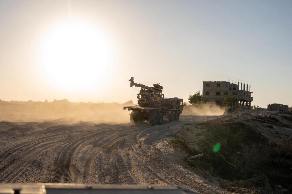
IDF troops near the Yellow Line in the Rafah area
(Photo: IDF)
The scale and direction of the construction have raised concerns that the Yellow Line could eventually become a permanent boundary dividing Gaza. The Board of Peace for Gaza and U.S. Central Command did not respond to AP’s requests for comment.
Earlier this month, the London-based Arabic newspaper Asharq Al-Awsat reported that Israel had significantly expanded its ground control inside Gaza and moved the Yellow Line deeper into additional areas.
Citing four sources inside Gaza, the newspaper said IDF troops were operating across much of the enclave, from Khan Younis in the south to Jabaliya in the north. In many areas, it said, the advance had reached Salah al-Din Road, Gaza’s main north-south artery.
Prime Minister Benjamin Netanyahu said in May that Israel intended to advance deeper into Gaza and retake territory from which its forces had previously withdrawn. Reservists who served in Gaza in recent months described a far more complicated reality to AP, calling the area a “jungle” in which the rules were unclear. Some said they had received instructions to “eliminate, no matter what,” and described the ceasefire as largely illusory.
That month, the IDF invited AP journalists to view a section of the Yellow Line in central Gaza. There, the boundary was visible as a wide dirt road marked by small yellow signs.
An IDF commander who accompanied the journalists said Hamas remained active on the other side of the line and regularly sent people toward or across it to test the military’s readiness and response. Those approaching included both armed men and civilians, he said. “There is no reason for anyone to come near the line,” the commander said. “There is nothing here.”