


Israel’s prolonged heat wave is expected to end this weekend with an unusually strong summer rain system that could bring locally heavy downpours and flash floods in parts of the country in the middle of August.
Dr. Amir Givati, director of the Israel Meteorological Service, told ynet on Thursday that the forecast had become a serious concern. “On Saturday we will see rain that could locally be heavy and even cause flash floods,” he said.
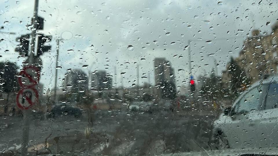
According to Givati, the unusual weather will not affect the entire country. Along the coastal plain, temperatures and humidity are expected to ease, while cloud cover will begin developing Friday over eastern Israel, including the Dead Sea area and the Golan Heights.
More significant rain is expected Saturday. “We could see rain that is locally strong and could even cause flash floods in the Judean Desert,” Givati said. “This is already a serious matter.”
The rain could continue into Sunday, though Saturday is expected to be the main focus. “It is rare in August,” Givati said. “From time to time we get some drizzle along the coast. We know those mornings when we wake up and see a few drops on the cars, but that is not what we are talking about this time.”
“This time we are talking about rain, and even heavy rain that could bring several millimeters to the Negev, Arava, Dead Sea and Judean Desert,” he added. “That is why we are issuing warnings and explaining the situation, because the public is not accustomed to rain in August. It is very, very unusual.”
The rain system is not expected to be widespread, but authorities may issue formal warnings for hikers over the weekend. Rain is forecast in desert areas around midday Saturday, and runoff could develop in streams and wadis. Instructions concerning nature reserves and roads are expected to be issued as conditions become clearer.
Givati said rain could also reach the Golan Heights and the area around the Sea of Galilee, although the system would be brief. “This is not winter weather. We are not suddenly going to feel cold air,” he said. “It is the kind of summer rain we know from other places. It can be short, but intense.”
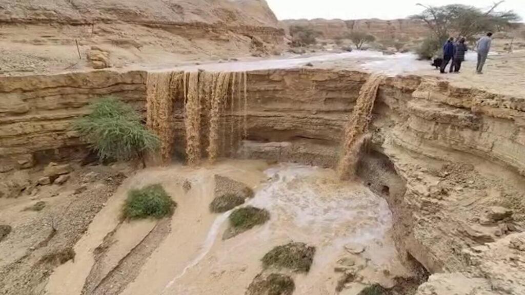
Hatzava Stream
(Photo: Roee Galilee)
Rain could continue in eastern Israel on Sunday, but the second half of August is still expected to return to more typical summer conditions, though without the extreme heat experienced over the past week.
Looking further ahead, the Meteorological Service has updated its seasonal outlook based on forecasting centers and models around the world, which indicate that rainfall could be above average after the Jewish holidays. “We expect an active fall with above-average rainfall,” Givati said.
He linked the unusual pattern to what the article described as a “super El Niño” phenomenon that began in the Pacific Ocean and is expected to peak in December. “We said that in an El Niño year, when the world is warm, weather patterns change,” he said. “So we think what we will see Saturday, and perhaps Sunday, is part of that.”
‘If there is doubt, there is no doubt’
The Israel Nature and Parks Authority stressed that entering flowing streams or riverbeds, either on foot or by vehicle, is strictly prohibited until water levels have fully receded. The authority also warned the public not to approach the edge of a stream during a flash flood because of the risk that the bank could collapse.
Fire and Rescue Services similarly warned that entering flowing waterways on foot or by vehicle constitutes a serious danger to life. The public was urged to follow instructions from emergency and rescue forces and check for road closures before traveling.
The Arava Rescue Unit said the heaviest rainfall in its area, stretching from the David and Arugot streams to the Sodom region, is expected between noon and 6 p.m. Saturday. “Based on the updated forecast and situation assessments, the Arava Rescue Unit is preparing for a scenario of locally intense rainfall and expected flash floods in streams in the valley, the Judean Desert and the southern Dead Sea area,” the unit said.
It emphasized that drivers and hikers must never attempt to cross a flowing stream, even if water is merely running across a road and appears passable. Travelers should wait until water levels fall and the flow weakens. “If there is doubt, there is no doubt,” the unit said.
Anyone wishing to watch a flash flood should do so only from a high and safe location and must not enter stream channels or areas through which floodwater may pass, it added.