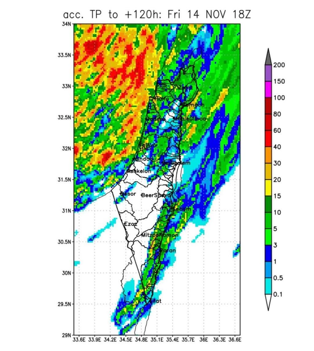
After a month without rain and a week that broke November heat records, winter weather is finally expected to return. The Israel Meteorological Service said Sunday that a cold front will move in later this week, bringing significant rainfall, possible flash floods and flooding along the coast and in the lowlands.
The warm and dry conditions are expected to continue through Monday. On Tuesday, temperatures will drop sharply, especially in the mountains and inland areas, though they will still remain above seasonal averages. Another slight drop is expected Wednesday, followed by a significant change Thursday as rain begins to spread.
According to the forecast, rain could begin falling Thursday afternoon and continue into Friday, starting in the Negev and Arava deserts. Some of the rain may be heavy. By Friday night and into Saturday, colder air will move in, with rain concentrating in northern Israel, along the coast and across the central lowlands. The Meteorological Service warned that rainfall amounts in those areas could be high enough to cause flooding over the weekend.
The agency said the long dry spell that has persisted since early October appears to be ending and that the coming days will bring winter-like conditions, possibly including extreme weather.
The first third of November was significantly warmer than average across the country. In some regions, particularly in the mountains, it was the warmest early November since records began, while in others it ranked second. The Meteorological Service said the unusually warm stretch reflects the broader warming trend affecting the region.
Dr. Amos Porat, head of climate services at the Israel Meteorological Service, said the first ten days of November ranked first in maximum temperatures recorded in the mountains and along the coast, and second in the northern Negev and central lowlands. Only November 1941 saw higher temperatures during the same period, he said.


