

Strong winds and heavy dust swept across Israel on Saturday as the first seasonal heat low moved into the region from Egypt, bringing extreme weather conditions across much of the country.
Southern winds strengthened during the morning, first in the southern Negev, where gusts reached 90 kilometers per hour near the Egyptian border and in the Besor region. By midday, strong winds also reached the center and north, with gusts of 95 kph in Samaria and 91 kph in the western Galilee.

In the south and the Gaza border region, sandstorms reduced visibility to only a few hundred meters. Air quality monitoring stations operated by the Environmental Protection Ministry recorded very high concentrations of dust particles, particularly in areas such as Ashkelon and Ashalim.
The haze gradually spread northward, reaching the coastal plain and the northern coast.
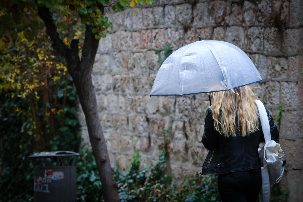
During the afternoon, light rainfall fell in several inland areas, though amounts were limited to about 3 to 5 millimeters.
Overnight, conditions are expected to shift with localized rain mainly in northern and central Israel, along with the possibility of isolated thunderstorms. There is also a risk of flash floods in the Judean Desert and the Dead Sea region.
Rain is expected to continue Sunday in the north and center, along with a notable drop in temperatures, which will fall slightly below seasonal averages.
On Monday, skies will be partly to mostly cloudy, with light rain or drizzle possible in northern and central areas until midday. Temperatures will remain slightly below normal for the season.
A significant warming trend is expected on Tuesday, with temperatures rising and humidity dropping, particularly in the mountains and inland regions. The day will be mostly clear, with strong easterly winds in the northern hills during the morning and brisk northern winds along the coastal plain in the afternoon.
Rain is expected to return on Wednesday. Temperatures will initially rise in the morning, bringing hotter-than-usual conditions and strong easterly winds in the north and central highlands, where haze may develop.
By midday, winds are expected to strengthen in the south, bringing additional dust, before showers and thunderstorms develop mainly in southern and central Israel.
There is also a risk of flash floods in the Negev, the Arava, and streams in the Judean Desert and Dead Sea area, with rainfall expected to intensify later in the day and spread to most parts of the country.