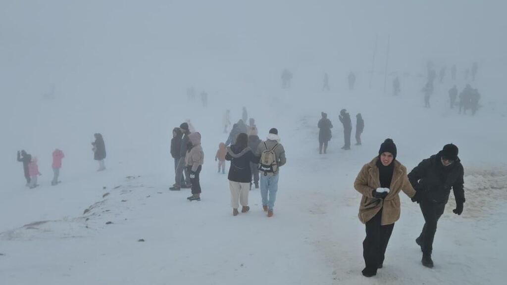
Strong winds, heavy rain, flooding and flash floods, along with snow in northern highlands above 1,000 meters: less than two days after a brief storm marked by unusually powerful winds, another system is already on its way.
Like the previous storm, which brought widespread damage and claimed the life of kitesurfer Lior Dadon off the coast of Bat Yam, the coming system will feature intense winds. This time, for the first time this season, snow may fall not only on Mount Hermon.
Rain is expected to begin in northern Israel on Monday afternoon and spread southward during the evening as far as the northern Negev. During the storm, heavy snow is forecast on Mount Hermon, with several centimeters of accumulation expected in the northern Golan Heights and possibly light snow on Mount Meron. The Israel Meteorological Service has published a map showing areas where snowfall is possible.
Significant rainfall accompanied by thunderstorms, lightning and hail is expected overnight. The heaviest precipitation is forecast in the northern and central mountains, with 60 to 80 millimeters expected. Locally, in Samaria, Judea and the Jerusalem hills, totals could exceed 100 millimeters in less than a day and a half. Coastal and lowland areas are expected to receive about 30 to 60 millimeters.
Winds are forecast to strengthen sharply on Monday evening and peak from the second half of the night through Tuesday afternoon. During this period, stormy conditions are expected, with sustained strong winds and gusts of 70 to 80 kph and locally up to 100 to 110 kph, mainly along the coast and in the mountains.
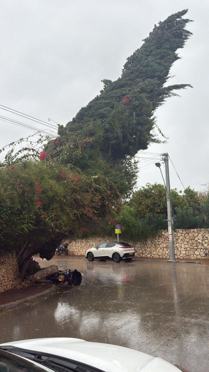
The Meteorological Service warned that such winds could cause damage, including falling trees and unsecured objects, damage to infrastructure and possible disruptions to takeoffs and landings during Tuesday morning hours. A red wind warning is expected for coastal areas from midnight Monday through Tuesday afternoon. Winds are expected to ease gradually only in the second half of Tuesday.
The latest storm
(Video: Moti Kimchi, Yossi Damari, Matan Goralnik)
Due to the high rainfall totals in the Judea and Samaria highlands, significant flash floods are expected in streams flowing toward the Dead Sea and the Judean Desert from the second half of the night between Monday and Tuesday through Tuesday evening. Flooding is also possible in the Jordan Valley, the Jerusalem hills, Samaria and the Lower Galilee.
A tree collapses in Ashkelon
In addition, flooding is forecast in the Sorek, Lachish, Shikma and Besor streams and their tributaries, following heavy rainfall in the Judean Lowlands and the Jerusalem hills. Flooding is also expected from early Tuesday morning through midday farther west, in the Lachish area extending to Ashdod and Ashkelon, due to the intensity of the rainfall.
Before the rain arrives, haze and reduced visibility are expected in the central and northern Negev because of the strong winds.


