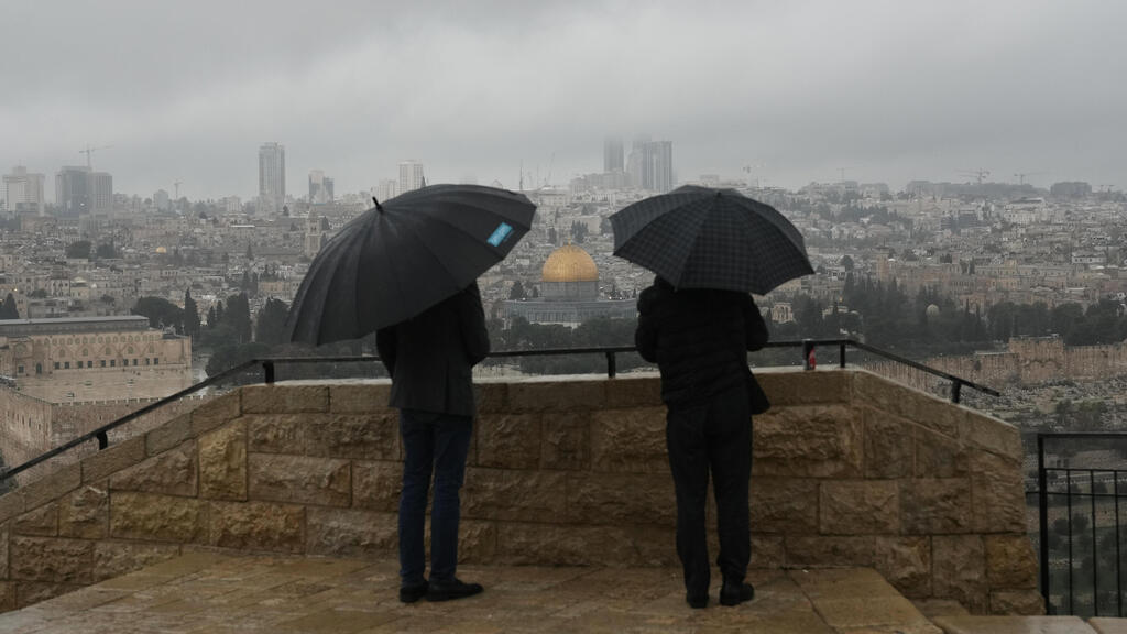
Israel’s Meteorological Service issued a red-level rainfall warning on Thursday for central Israel, including the Tel Aviv metropolitan area and the Sharon region, from early morning through at least midday.
During this period, dozens of millimeters of rain are expected to fall, with some locations forecast to receive more than 50 millimeters within just three to six hours. Authorities warned of a high risk of flooding and major disruptions in cities across central Israel and along the Mediterranean coast.
From the afternoon and into the evening, the rain is expected to spread southward to Israel’s southern coastal plain, the western and northern Negev desert, and the Judean Desert. Flash flooding is expected in these areas. Gusty winds will accompany the system, along with a slight drop in temperatures.
On Friday morning, localized rain is still expected, mostly light and mainly in central Israel and the Negev. Rainfall will gradually taper off during the day, with a further slight cooling, particularly in central and southern parts of the country.
Saturday is expected to be mostly clear, with no significant change in temperatures. On Sunday, skies will be clear to partly cloudy, with a slight warming trend. Strong easterly winds are expected in the northern and central highlands.
After this rain system, a relatively prolonged dry spell is expected to begin over the weekend.
Flash floods, severe weather across Israel on Monday
(Video: Harel Be'eri)
Due to the heavy rainfall from the latest storm system, combined with earlier December rain, seasonal precipitation totals since the start of winter are now above average in many areas. Rainfall amounts are about 1.5 times the seasonal average or higher along the northern coastal plain, in the Samaria region, in the southern Hebron hills, and along the southern coast.
In the northern and western Negev, rainfall totals have reached twice the seasonal average or more. In the Beersheba to Revivim area, about 80 to 90 percent of the average rainfall for the entire season has already been recorded.
A rainfall deficit remains in northern Israel, particularly in the Upper Galilee, the Hula Valley, the Sea of Galilee region, and the Golan Heights, where totals stand at about 70 to 90 percent of the seasonal average so far.
Since the start of winter, the highest rainfall total was recorded in the community of Neve Tzuf, with 431 millimeters. The coastal village of Shavei Zion, south of Nahariya, followed with 395 millimeters, while the Port of Haifa recorded 352 millimeters, one millimeter more than the nearby University of Haifa station.
Other rainfall totals include 239 millimeters in Tel Aviv, 246 in Rishon LeZion, 212 in Jerusalem, 173 in Beersheba, about 90 percent of its annual average, 122 in Tiberias, 181 in Merom Golan, 258 in Hadera, 295 in Ashkelon, 221 in Beeri, and 12 in Eilat.
Forecast temperatures for Thursday and Thursday night, in Celsius:
Jerusalem 8-15, Tel Aviv 10-18, Haifa 14-18, Safed 8-11, Katzrin 9-12, Tiberias 12-15, Nazareth 10-13, Afula 11-15, Beit Shean 13-16, Lod 11-19, Ashdod 11-19, Ein Gedi 12-21, Beersheba 9-19, Mitzpe Ramon 8-14, Eilat 15-22.


