

Earth’s crust off the U.S. East Coast cooled as much as 1.6 times faster than conventional geological models predict, according to a University of Haifa study that could change scientists’ understanding of how continental margins evolve after continents break apart.
The accelerated cooling made rocks denser, causing the region between the North American continent and Atlantic Ocean to sink more rapidly and creating space for unusually thick layers of sediment to accumulate, researchers found.
“The finding changes the way we understand the development of continental margins,” said Dr. Guy Lang of the University of Haifa’s Leon H. Charney School of Marine Sciences and the Geological Survey of Israel, one of the study’s authors.
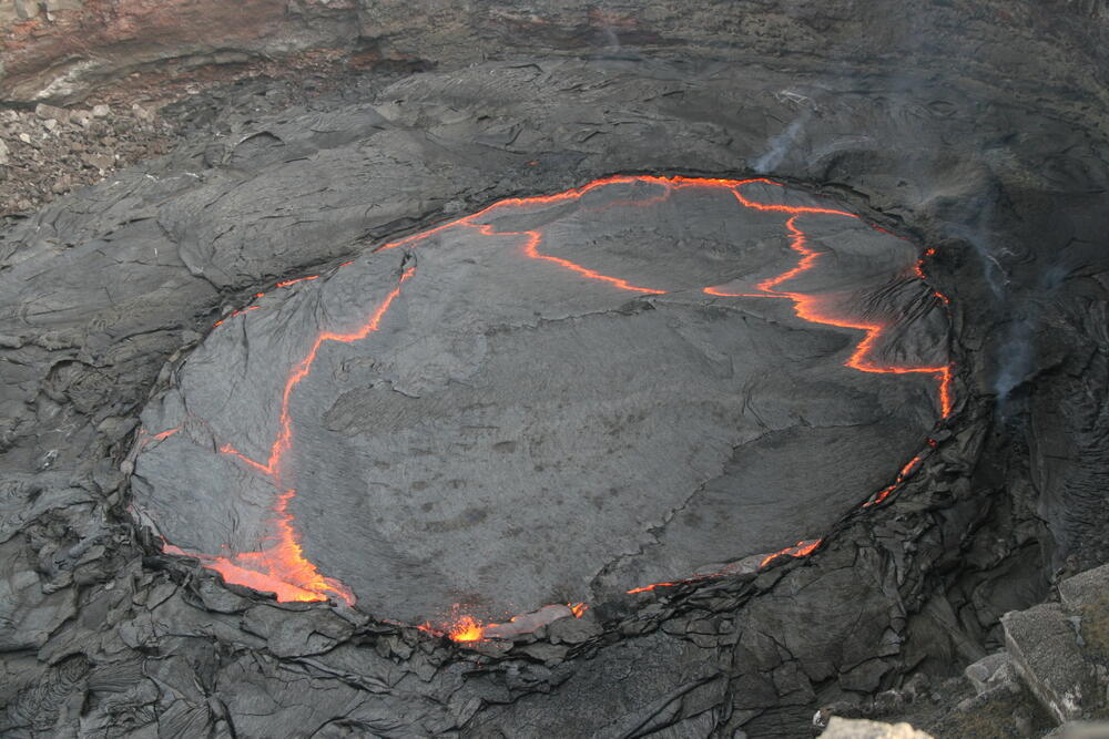
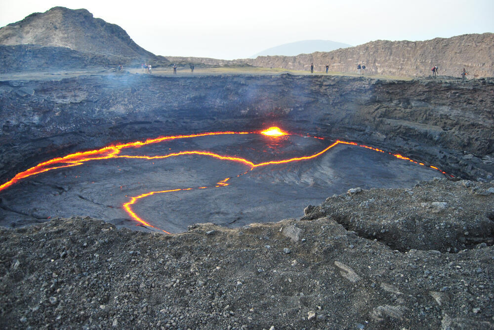
The findings showed that thick layers of sediment accumulated in the study area. A lava lake
(Photo: Rainer Albiez/Shutterstock)
“If the crust cools faster than we thought, then the subsidence of the seafloor and the accumulation of sediment layers above it also occur more quickly,” Lang said. “Therefore, processes that for years we attributed solely to passive cooling now require an additional explanation.”
Why continental margins sink
When continents split apart and move away from each other, Earth’s crust stretches and becomes thinner. As the process continues, hot molten material rises from deeper within the Earth and cools, forming new oceanic crust and eventually a new ocean.
Broad transitional areas remain between the continents and the newly formed ocean. These are known as passive continental margins.
Over time, such margins cool as heat is conducted upward. Cooling increases the density of the crust, causing it to sink and allowing thick layers of sediment to accumulate above it.
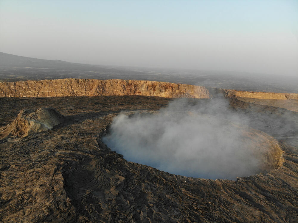
Erta Ale volcano in Ethiopia, in a region where new oceanic crust is forming
(Photo: Ilya unknown/Shutterstock)
The thickness of those sediment layers is closely linked to the rate at which the crust cools: The faster the cooling, the more rapidly space can be created for sediments to accumulate.
About half of passive continental margins experienced enormous flows of molten rock, or magma, rising from deep within the Earth as the continents separated. Some of that magma intruded into the crust, while some erupted at the surface and covered it with thick layers of basalt. Such areas are known as magma-rich continental margins.
For decades, however, conventional geological models have struggled to explain why magma-rich margins sank faster — and accumulated far thicker sediment deposits — than models based on passive heat conduction predicted.
The new study sought to address that discrepancy.
Eight kilometers of sediment where models predicted three
Lang worked with Prof. Yizhaq Makovsky and Prof. Uri ten Brink of the University of Haifa’s Dr. Moses Strauss Department of Marine Geosciences, the Geological Survey of Israel and the U.S. Geological Survey to examine a large area off the U.S. Atlantic coast considered a prominent example of a magma-rich continental margin.
The researchers developed a new mathematical model to reconstruct how the continental margin cooled and subsided following the breakup of the continents.
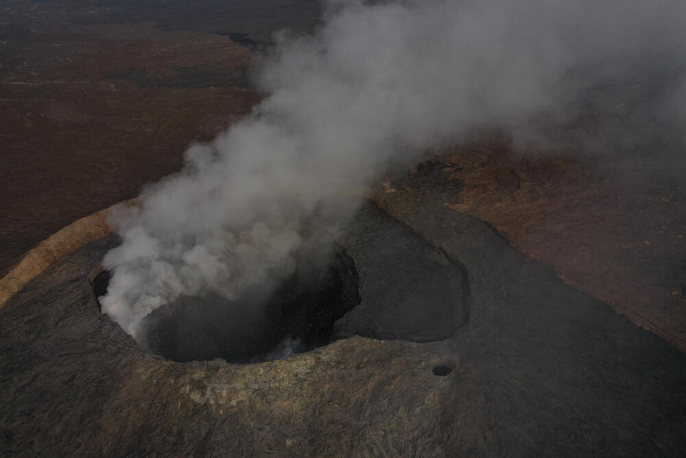
The volcano. Existing models still cannot fully explain the subsidence of continental margins
(Photo: TJOGR/Shutterstock)
The model incorporated three major processes: stretching of Earth’s crust and the layers beneath it, the addition of volcanic rocks to the crust and changes in the rate at which heat traveled through the rocks.
Researchers then compared the model’s predictions with subsurface data from the study area. Seismic measurements allowed them to estimate the thickness of both the crust and the sediment layers that accumulated above it during the first 26 million years after continental breakup.
To test the robustness of their findings, the researchers performed 30,000 repeated fits of the model using different samples from the data set. They then compared its predictions with the history of subsidence reconstructed from a deep research borehole in the region.
The results revealed a striking discrepancy.
During the first 26 million years after continental breakup, as much as about 8 kilometers, or 5 miles, of sediment accumulated in the study area. Conventional geological models predicted a maximum of only about 3 kilometers, or 1.9 miles.
Even after researchers accounted for uneven stretching of the crust and the addition of volcanic rock, the models could not explain the full extent of the subsidence.
Only when the researchers allowed for substantially faster cooling did their model match the observations.
Water may have carried heat out of the crust
The researchers believe water circulating through porous basalt may provide the missing explanation.
Under that scenario, water traveled through porous volcanic rocks, became heated at depth and transported that heat upward. Removing heat more efficiently would have caused the crust to cool and become denser faster, accelerating the sinking of the region and creating more space for sediments.
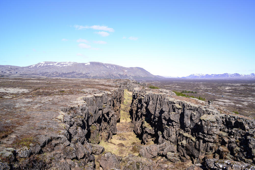
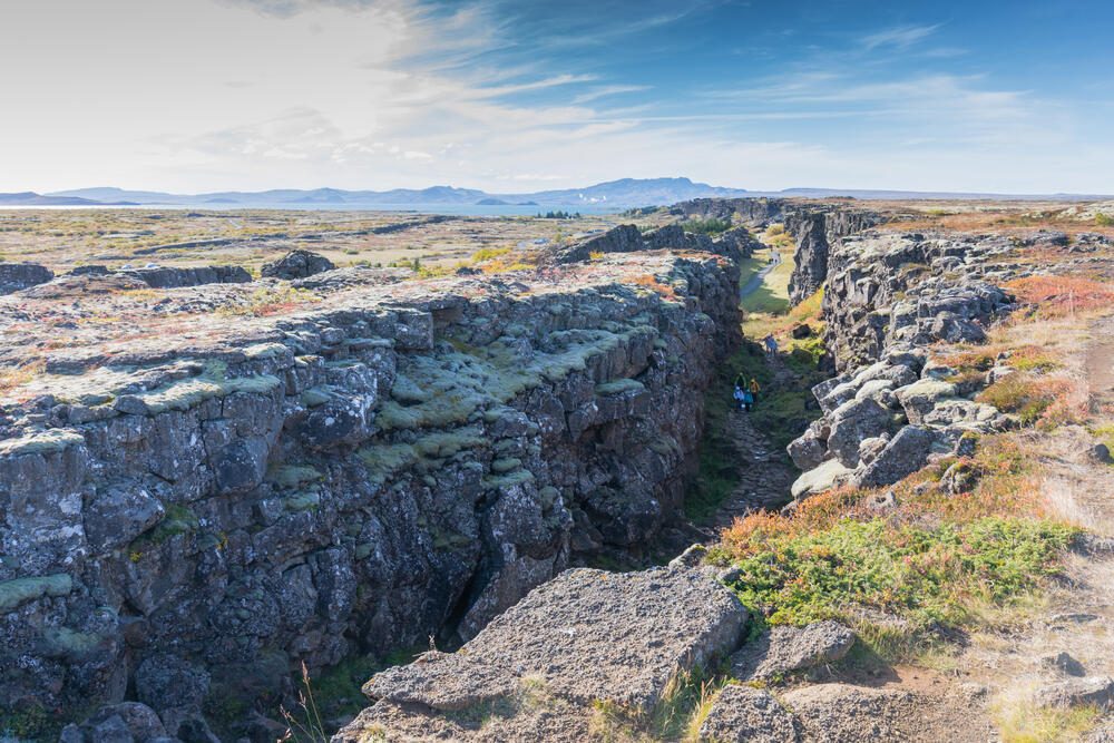
Iceland sits directly along the boundary between the North American and Eurasian tectonic plates, where the plates are pulling apart and forming new oceanic crust. The basalt rocks on both sides of the rift were formed by cooling lava
(Photo: Lex0077/Shutterstock)
Researchers: 'The ability to reconstruct cooling and subsidence rates is important far beyond understanding the region studied'
(Photo: Bart Acke/Shutterstock)
Similar processes can be observed today in Iceland and East Africa, the researchers said.
The findings could have implications well beyond the particular stretch of the U.S. Atlantic margin examined in the study.
A better understanding of how quickly continental margins cool and sink could affect scientists’ interpretations of sediment thickness and reconstructions of ancient sea-level changes. It could also alter estimates of the thermal history of sedimentary basins where oil and natural gas systems developed.
“The ability to reconstruct more accurately the cooling and subsidence rates of continental margins is important far beyond understanding the evolution of the region examined,” the researchers said.
The findings, they said, “could change the way we interpret the thickness of sedimentary layers, reconstruct ancient sea-level changes and assess the thermal history of basins in which oil and gas systems developed.”