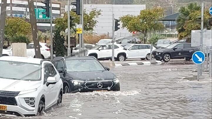
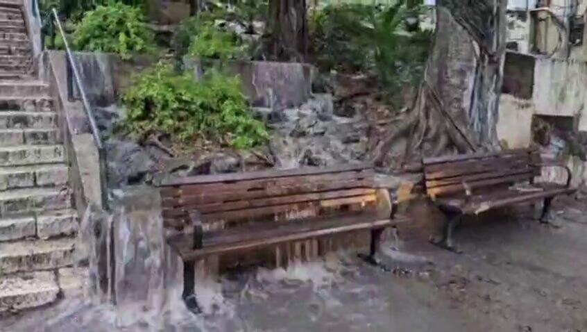
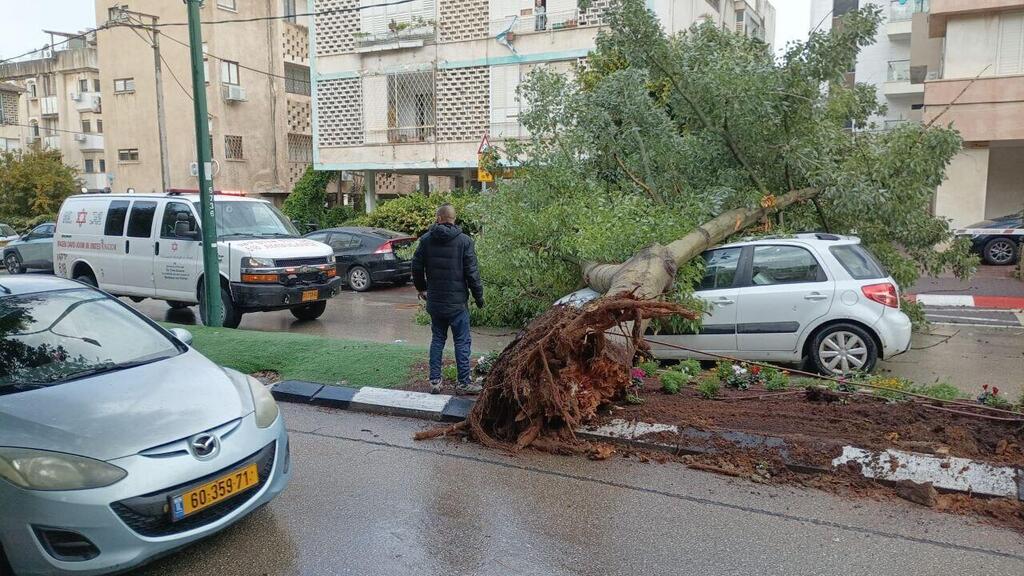
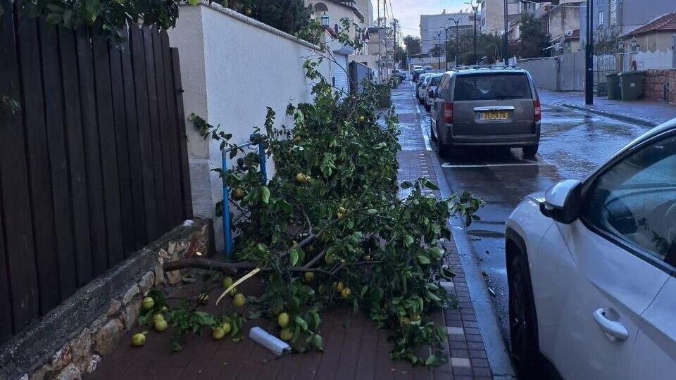
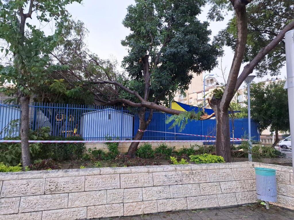
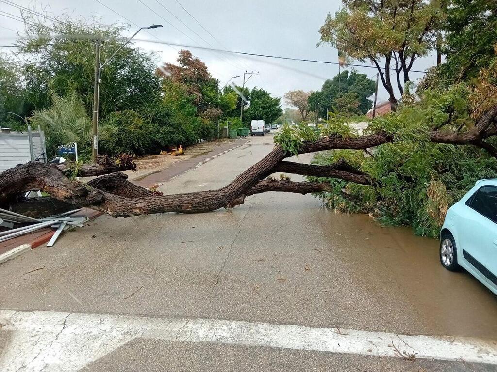
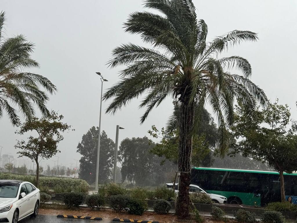
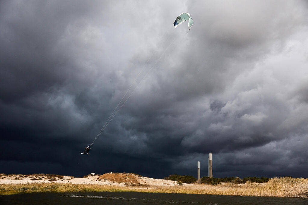
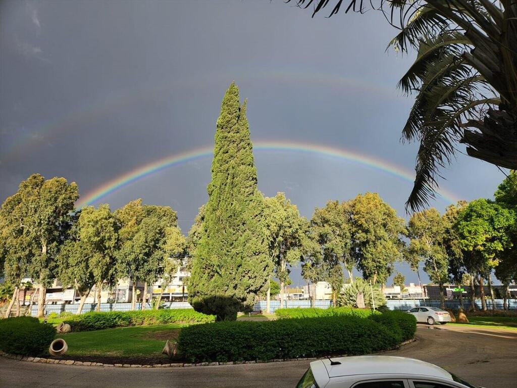
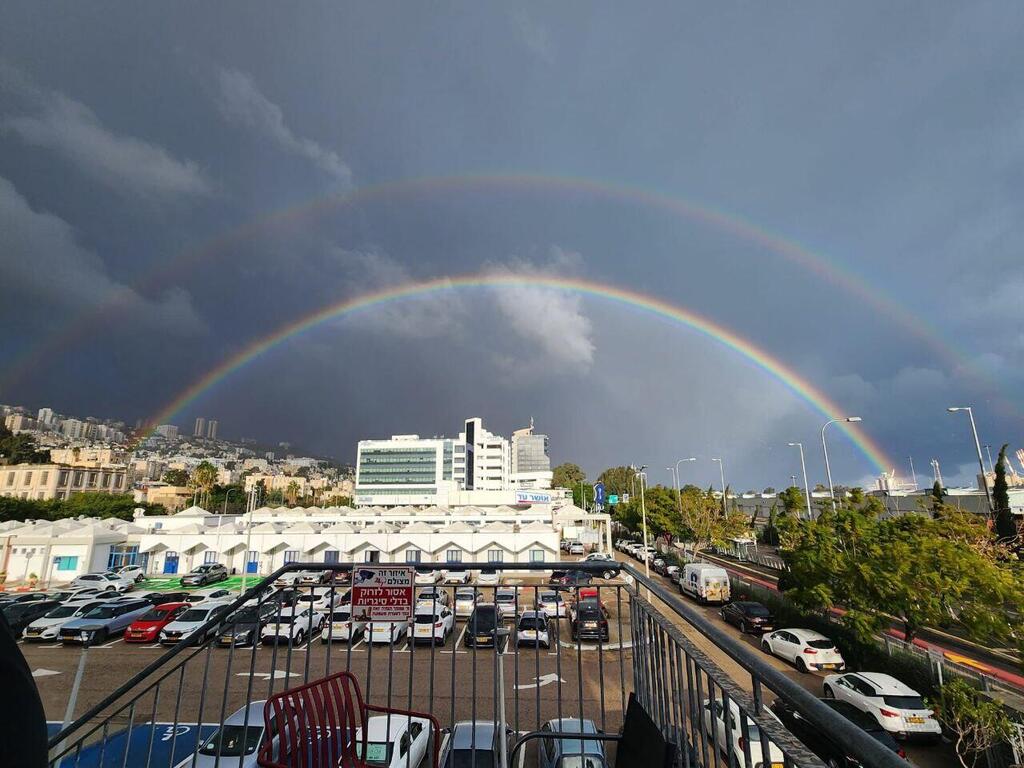
Torrential rain and stormy weather caused flooding and uprooted trees across northern and central Israel on Monday, with intense downpours recorded from Haifa to the Sea of Galilee and strong winds buffeting much of the country.
In the coastal city of Haifa, water surged in streets, turning some into rushing streams, and in Herzliya a tree fell onto a passing car. The driver was unhurt and did not require medical attention, said Magen David Adom paramedic Nir Keisar. “We arrived to find the vehicle in the middle of the road with the tree on top,” he said. “The driver said it fell as he was driving. It was a miracle he was not injured.”
Heavy winter storm batters Israel
(Video: Ahiya Raved, United Hatzalah Carmel, Nature and Parks Authority, Magen David Adom, from social media)
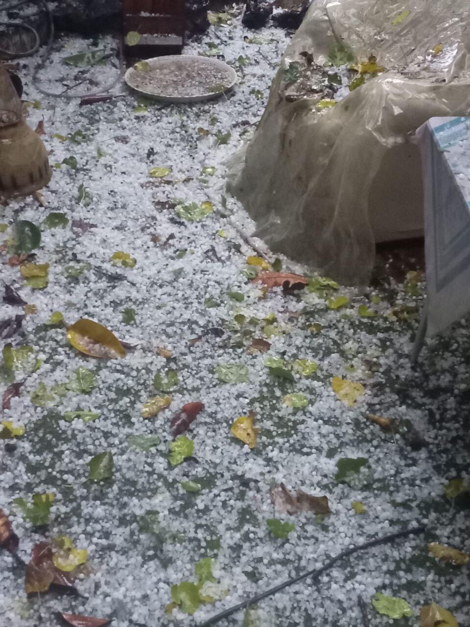
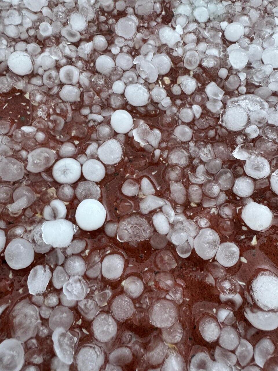
Trees also came down in the northern city of Acre and in the moshav Matzliah. In the northern city of Karmiel, residents reported heavy hail.
A man in his 60s was seriously injured in Tel Aviv on Monday after a balcony collapsed on top of him. Magen David Adom paramedic Simcha Simanduyev and EMT Shimon Peresh said: “He was lying on the sidewalk near the building, semi-conscious and surrounded by rubble. He suffered multi-system trauma.” The man was evacuated to the city's Sourasky Medical Center.
According to the Israel Meteorological Service, between 7 a.m. and 10 a.m. (local time), the station at Beit Zayda near the northeastern Sea of Galilee recorded 24.2 millimeters (almost 1 inch) of rain, while nearby Kfar Nahum recorded 19.5 mm. Elsewhere in the Central District, Rishon LeZion saw 13.6 mm, Kfar Chabad 16.1 mm, Kibbutz Nahshonim near Rosh HaAyin 13.2 mm and Petah Tikva 13.6 mm. In the northern Golan Heights, Merom Golan recorded 17.1 mm in the same period.
Haifa also saw localized flooding, with 14.6 mm measured at the Technion and 10 mm at the oil refineries, while heavy rain in Kibbutz Bar’am near the Lebanese border reached 15.1 mm.
Flooding forced closure of several major roadways. Route 234 at the Tze’elim Bridge was shut in both directions, as were Routes 227 at Ma’aleh Ha’kavim and 2499 at Nof HaKikar. On Highway 4 southbound at the Holon Interchange, two of three lanes were blocked.
The storm is expected to peak Monday before beginning to ease Tuesday. A “red” warning — the highest level — remains in effect through 3 p.m. for heavy rainfall in parts of central Israel. The forecast calls for 2 to 3 inches (50 to 75 mm) of rain in the Samaria and northern Samaria regions over several hours.
“Yellow” warnings have been issued for the Carmel range, central and southern coastal plains, the Shephelah and the Judean Hills, with expected rainfall of 1.4 to 2 inches (35 to 50 mm). Separate yellow alerts cover the Judean Desert, the Dead Sea and northern Arava, with lighter rains expected.
Waterways across Israel overflowing amid stormy weather
(Video: Nature and Parks Authority)
The heavy rain could trigger urban flooding and flash floods in wadis. In addition to flooding in the Carmel and coastal plains, flash flood risks were noted for several central waterways, including Hadera Stream, Alexander, Poleg, Yarkon, Ayalon and Sorek.
The downpours are expected to spread southward through the day into the Negev, and snow is forecast on Mount Hermon. Strong winds with gusts of 50 to 62 mph (80 to 100 kph) were also expected.
Temperatures Monday were forecast as follows: Jerusalem 7–12 C (45–54 F); Tel Aviv 15–19 C (59–66 F); Haifa 14–17 C (57–63 F); Safed 7–12 C (45–54 F); Katzrin 9–13 C (48–55 F); Tiberias 12–19 C (54–66 F); Nazareth 10–15 C (50–59 F); Afula 11–18 C (52–64 F); Beit She’an 11–18 C (52–64 F); Lod 11–18 C (52–64 F); Ashdod 11–19 C (52–66 F); Ein Gedi 12–18 C (54–64 F); Beersheba 8–17 C (46–63 F); Mitzpe Ramon 5–13 C (41–55 F); and Eilat 12–23 C (54–73 F).
The storm is expected to weaken Tuesday with residual showers in the north and center and seasonable temperatures. Wednesday could see occasional light rain in the north and breezy coastal winds. Temperatures in central and southern regions are forecast to rise slightly.
By Thursday, rain could return at times with isolated thunderstorms from northern Israel to the northern Negev, with possible flooding again in coastal and lowland areas and flash flood risks in eastern wadis.


