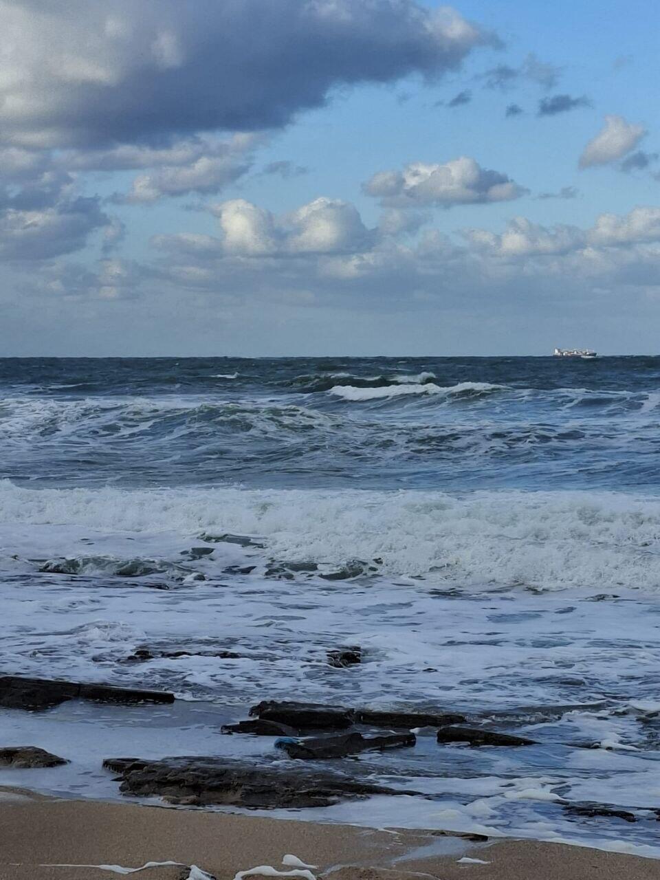
A major shift in weather is expected to begin Saturday night, bringing an end to a sunny and mild weekend across Israel. Rain will begin falling in the north overnight and reach central areas by early Sunday morning.
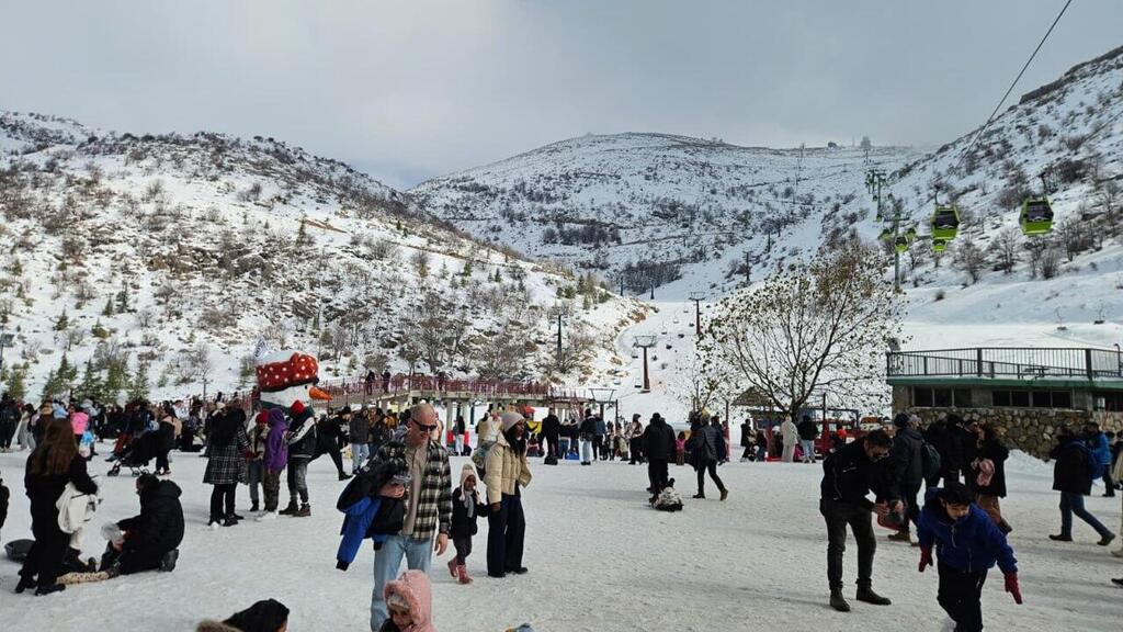
Sunday is forecast to feel unmistakably wintry, with heavy rainfall, a drop in temperatures and snowfall on Mount Hermon. The Israel Meteorological Service said the heaviest rain will fall during the morning hours, particularly between the Sharon region and Ashdod, including the Tel Aviv area and the coastal plain.
Rainfall totals in the Lachish region are expected to reach 60 to 80 millimeters in just a few hours, less than the 150 mm recorded there during Tuesday’s storm, but still significant enough to raise concerns about flooding. Authorities warn of potential flash floods and strong water flows in the Sorek and Lachish streams and their tributaries.
Flash floods are also possible in multiple areas of the center, including the Samaria, Binyamin and Judea regions, as well as the Jerusalem hills and the lowlands. Rain is expected to spread to the northern Negev by Sunday evening, with the weather system tapering off on Monday. Temperatures will continue to drop on Monday and remain steady into Tuesday.
Despite the looming weather system, some 70,000 Israelis visited national parks and nature reserves on Saturday, according to the Israel Nature and Parks Authority. The most popular sites included the Banias and Nahal Ayun nature reserves, Caesarea, Tel Afek (Yarkon National Park) and Tel Ashkelon National Park.
The expected rainfall will further improve Israel’s already above-average precipitation levels for the season. As of mid-January, Jerusalem has recorded 162% of its seasonal average, Haifa 123% and Tel Aviv 100%. Be'er Sheva has received 244% of its usual rainfall—more than double the norm—while Lachish and parts of the Negev have also seen unusually high totals. However, the Galilee and the Sea of Galilee basin have remained below average so far this season.


