


Updated weather models from the Israel Meteorological Service have significantly weakened the rain system expected overnight Saturday into Sunday, with forecast rainfall totals now considerably lower than earlier predictions.
Under the revised forecast, rain is still expected along the northern and central coastal plain, but the amounts are now projected to be much smaller than previously anticipated.
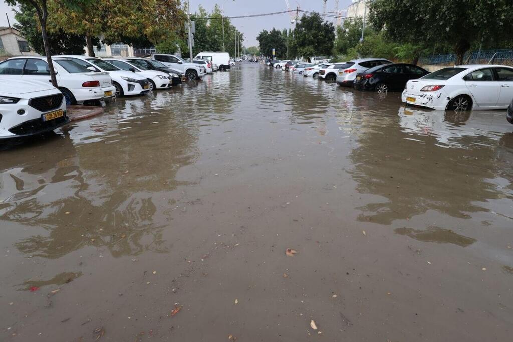
Less rain than expected
(Photo: Alex Kolomoisky)
Dr. Amir Givati, director of the Israel Meteorological Service, said the powerful system that had been expected to bring tens of millimeters of rain to Israel, particularly along the coastal plain and in the Shfela region, will remain over the Mediterranean Sea instead.
“The powerful rain system that was expected to bring large amounts of precipitation, tens of millimeters, to Israel, mainly along the coastal plain and in the Shfela, will not arrive and will remain over the Mediterranean,” Givati said. “We will still get rainfall that is unusual for August, but in smaller amounts than expected and at levels that will not cause disruptions or flooding.”
According to the forecast, Saturday will be partly cloudy with no significant change in temperatures. Local rain may fall in northern Israel during the afternoon, while winds are expected to strengthen.
During the night, rain is expected to spread into central Israel, with thunderstorms also possible in the north. Rain is forecast to continue on Sunday from northern Israel to the northern Negev. Temperatures are expected to fall significantly and become lower than usual for the season.
The rain is expected to stop around midday Sunday, although light drizzle may still be possible Monday morning. Temperatures will then rise slightly but remain below seasonal averages. Before the forecast was revised, the Yarkon Drainage and Streams Authority had been preparing for the possibility of unusually heavy rainfall.
Its director-general, Arik Leibovitz, said drainage authorities routinely carry out engineering work to regulate waterways and clear blockages, but noted that a well-functioning urban drainage system can generally cope with around 25 to 30 millimeters of rain per hour.
“Any amount beyond that could cause flooding,” he said, although in practice flooding can also occur with smaller amounts of rainfall. He said the earlier forecast had called for around 30 millimeters of rain along the coastal plain, close to the capacity threshold of urban drainage systems and enough to raise concerns if it fell over a short period.