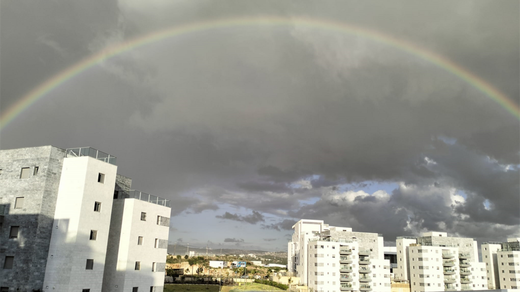
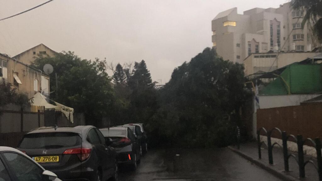
Winter seems to be making a comeback. Monday night's heavy rainfall in all parts of Israel is expected to continue into Tuesday and Wednesday, accompanied by thunderstorms, sleet, strong winds, and cold temperatures.
The rain clouds are supposed to go away by Thursday, only to come back next Sunday.
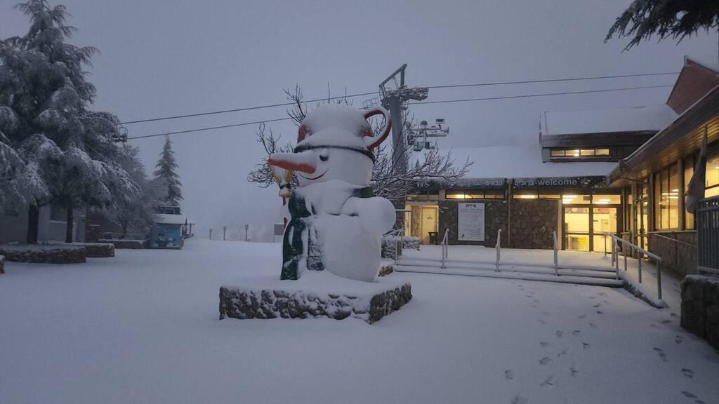
Mount Hermon received its fair share of snowfall on Monday which is expected to persist throughout the week. The ski resort on Israel's highest peak is currently closed to visitors as it awaits more snow to pile up. So far, about 7 centimeters (3 inches) of snow have been measured on its lower slopes, with temperatures dropping as low as -2℃ (28℉).
"Winter welcomes February in a white veil," said the ski resort's spokesperson Miki Inbar. "We are very happy about this, better late than never."
As of Tuesday morning, the Galilee and Golan Heights in northern Israel have recorded the most precipitation nationwide.
The Union of Kinneret Cities, a grouping of communities resting on the banks of the Sea of Galilee, noted that strong west winds will blow in the area with gusts of up to 75 km/h (46 mph). Visitors are advised to avoid entering the water with floating devices so as to not get carried away by strong winds and currents.
Additionally, several residential areas in central Israel are experiencing power outages after inclement weather damaged electric infrastructure.
The Nature and Parks Authority has posted an updated list of a series of hiking trails in the Judaean Desert that will be closed throughout Tuesday and Wednesday due to the heightened risk of flooding.


