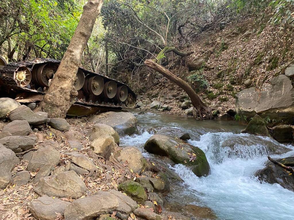
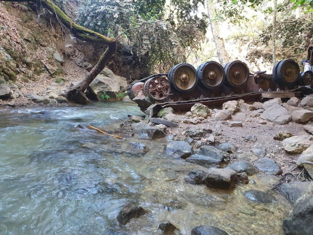
The Syrian Tank at the Banias Stream route reopened to hikers on Monday, after being closed for a year and a half following the outbreak of the Gaza war on October 7, 2023. The trail is named after the overturned Syrian T-34 tank, a relic from the Six-Day War, which remains in the streambed as a historical marker.
Reopening the route required extensive work, including clearing fallen trees, rebuilding steps, and repairing safety measures—a process that took several months.
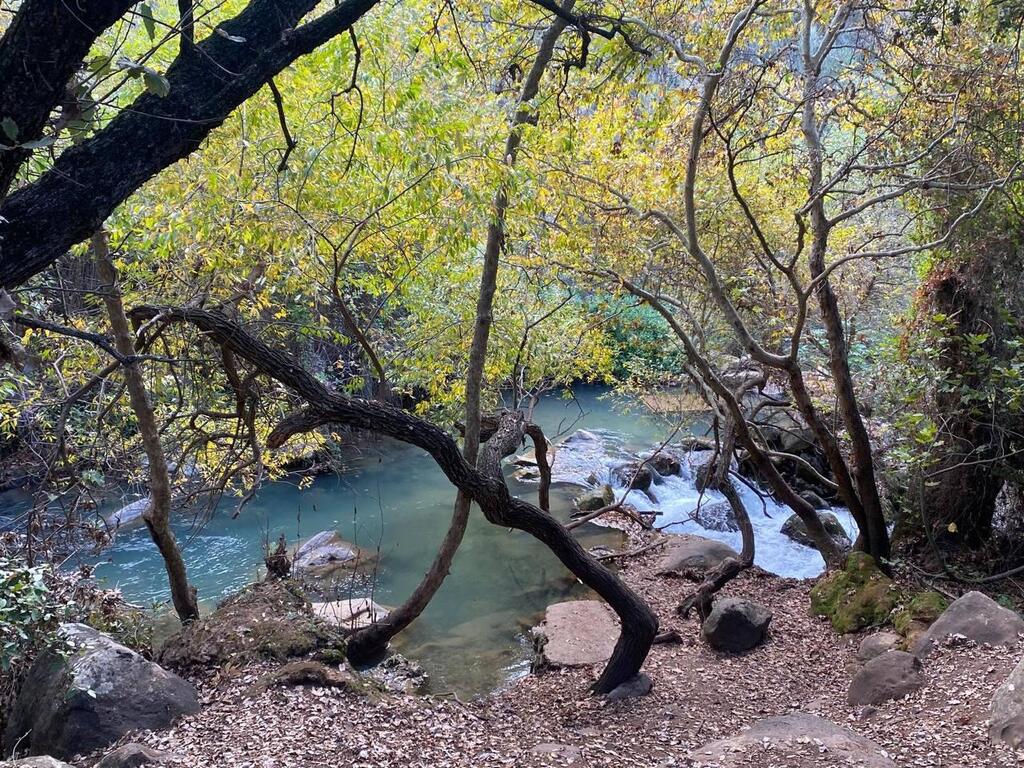
This trail, considered one of the most beautiful in northern Israel, runs along the Hermon Stream (Banias) amid dense and shaded forest, making it cool and pleasant for hiking most of the year. Waters along the route are crystal clear, rushing through lush riparian vegetation and collecting in vivid turquoise pools. The trail begins in the wildest section of the Banias, where the stream flows turbulently between towering Oriental plane trees, and becomes calmer and wider as it continues.
The route is approximately 2.5 miles long and is not circular, so hikers are advised to arrange transportation at the endpoint or return to the starting point along the same path. Entrance to the trail is free. The trail begins at the cemetery of Kibbutz Snir and ends at the yellow gate of Sha’ar Yashuv, near a camping area. The Israel Nature and Parks Authority reminds visitors that entering or wading in the water along this part of the Banias is prohibited to preserve the natural environment.
The trail, marked in green, descends from the cemetery toward the streambed. At the junction with a trail marked in black, hikers turn left and descend steps to the Syrian tank. The T-34 tank participated in a Syrian commando battalion’s invasion, accompanied by armored forces, on the second day of the Six-Day War in 1967.
Due to an Israeli intelligence error, Kibbutz Dan was left without military protection. However, the kibbutz’s emergency response team, along with other members, managed to repel the Syrian attack. During their retreat, one of the tanks fell into the streambed and overturned, where it remains to this day, a silent witness to history.
After visiting the tank, hikers ascend back to the black-marked trail and turn left. They pass a junction and continue along the stream on the black trail. Later, they cross a bridge to the northern bank of the stream, passing active water pumping stations. After about an hour of walking, hikers reach a junction with a red-marked trail.
Get the Ynetnews app on your smartphone: Google Play: https://bit.ly/4eJ37pE | Apple App Store: https://bit.ly/3ZL7iNv
The red trail leads right, descending toward the streambed, while the black trail ascends left onto a dirt road alongside local agricultural orchards. Choosing the red trail, hikers continue walking along the stream channel, shaded by large riverside trees such as Oriental plane and bay laurel (the spice known as bay leaves).
After completing the red trail, hikers reconnect with the black trail, but the hike doesn’t end there. After about 15 minutes of walking, the trail veers right back toward the streambed. Hikers cross the stream again, this time over a Bailey bridge (a steel truss bridge originally designed during World War I). From there, the trail follows a paved asphalt road leading to the yellow gate of Sha’ar Yashuv, where the hike concludes.
Ofer Shenhar, director of the Banias Nature Reserve, stated: "In recent months, since reopening the reserve, we’ve worked diligently to rehabilitate the route, which had been closed for the past year and a half due to the war. Today, it is open again to hikers. The trail has been cleared, fallen trees were removed, steps were rebuilt, and additional safety measures were implemented."


