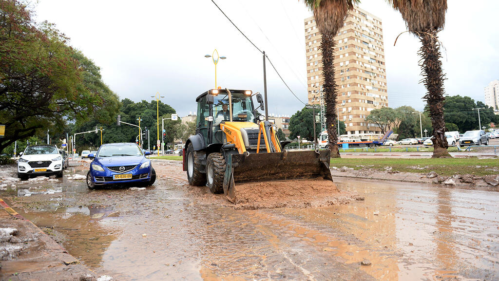
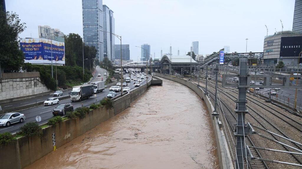
Storm Byron is expected to sweep across Israel in the coming days, marking the unofficial start of winter with heavy rainfall along the coastal plain and in the north. According to forecasts, some areas could see up to 200 millimetres of rain, prompting serious concerns about potential flooding. Dr. Amir Givati, director of the Israel Meteorological Service, said in a Tuesday interview with ynet that this is a prolonged weather event that will intensify gradually, peaking overnight Wednesday into Thursday and especially on Thursday morning. “There will be flooding,” he said, “but Tel Aviv will not be underwater.”
Rainfall is forecast to begin today, mostly localized but sometimes heavy, particularly near the northern coast. Tonight, heavier rain is expected along the coastal plain. On Wednesday, thunderstorms and heavy rain are expected from the north down to the northern Negev, raising the risk of flooding in the coastal and lowland areas. From noon into the evening, rain is also expected in the Negev and around the Dead Sea, where flash floods are possible.
The storm’s peak is expected late Wednesday night and throughout Thursday. Intense rainfall and thunderstorms are forecast from the north to the northern Negev, with particularly strong downpours along the coast and in the lowlands, likely causing significant flooding. The focus of the flooding later Thursday is expected in the southern coastal plain—from Rishon Lezion to Ashkelon. Flash floods are also likely in the Dead Sea region. Rain, flooding and possible road closures are expected to continue into Friday, but the intensity will decrease gradually over the day.
Dr. Givati stresses that while Storm Byron is not a hurricane or tropical storm of the kind seen in the U.S., it will bring strong winds, around 80 to 90 km/h, and that some damage is possible. “We’ve seen winds like this in the past year or two. The main focus should be on the rainfall,” he said, warning that streets in central cities may be closed due to water accumulation.
Responding to warnings by Yarkon Drainage Authority head Arik Leibovitz, who said Tel Aviv could not withstand 100 mm of rain in a day, Dr. Givati urged the public not to panic. “The claims circulating on social media are exaggerated. This is not a hurricane, and Tel Aviv will not be underwater. Yes, it’s a significant rain event, but cities can manage it.”
He encouraged the public to follow safety guidelines: avoid elevators and underground parking during heavy rain and remain alert to emergency instructions. “Municipalities in central Israel are strong and emergency services are prepared. Flooding is possible, but manageable. We hope the rain will be spread out between Wednesday and Friday, not fall all at once.”
Dr. Givati noted that while flooding can’t be entirely prevented, especially if rain falls in a short time span, cities are equipped to handle the situation. “No drainage system can deal with 50 mm of rain in an hour. But cities have pumps and crews ready to clear blockages. The coastal plain from Gedera to Hadera is one of the most urbanized and flat areas in the country, with little room for water to soak in. It's a serious challenge.”
Nevertheless, he did not rule out temporary closures along the Ayalon Highway. “Everything is possible. The water volume will be significant. We are monitoring the situation closely and coordinating with all agencies. We’re not currently expecting Ayalon to flood like in past years, but strong flow is likely, and short-term closures are possible.”
Dr. Givati concluded by linking the dramatic weather shift, unseasonably warm temperatures followed by sudden heavy rainfall, to climate change. “This is a textbook example of extreme weather caused by global warming. Just two weeks ago we had record-high temperatures in Tel Aviv. Now, record rain. We saw double the annual average fall in the Arava on Saturday alone. These are the extreme events we need to expect as the climate crisis deepens.”


