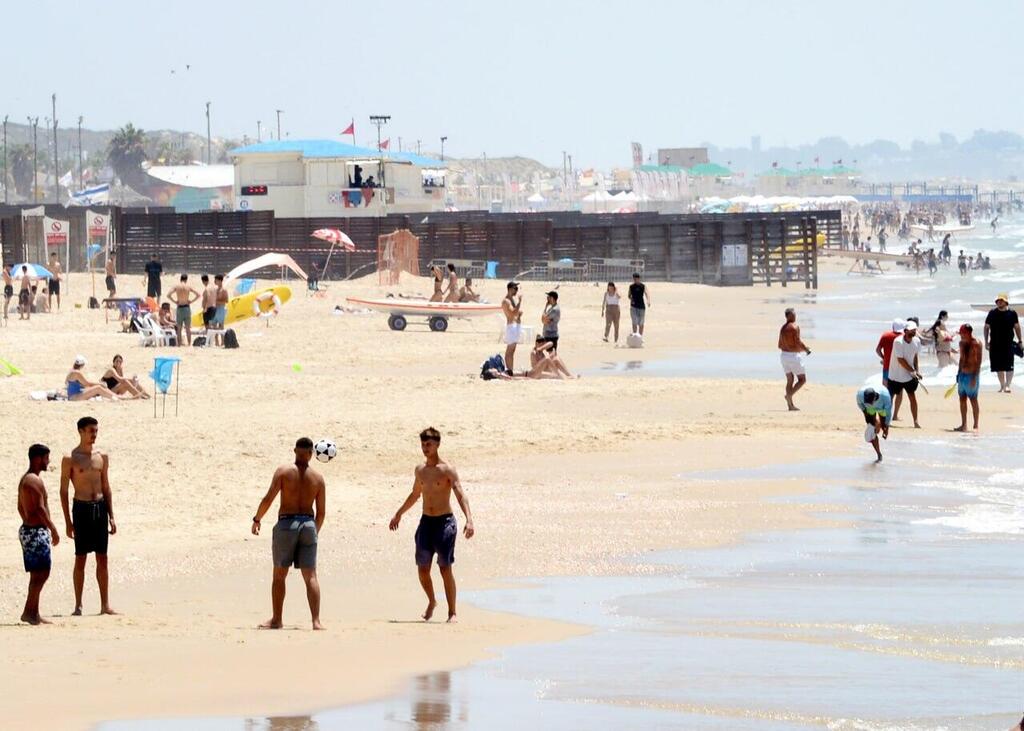
After several days of unusually intense heat, Israel is set for a sharp shift in weather overnight Monday into Tuesday, with rainfall, thunderstorms and hail expected across the north and center. Forecasters warn of possible flooding along the coastal plain and in the lowlands.
Rain is expected to strengthen before dawn and spread to most regions, accompanied by lightning, thunder, hail and strong winds. From Tuesday morning through early afternoon, heavy downpours and powerful gusts are forecast across much of the country, including the Negev, Judean Desert, Arava and the Dead Sea region. Meteorologists warn of rapid accumulations of “tens of millimeters” of rain in under an hour, raising the risk of urban flooding, flash floods and disruptions in southern waterways.
Temperatures will drop sharply, and rainfall is expected to taper off gradually by late afternoon.
Fire and Rescue Services said units specializing in flood and swift-water rescues, along with the elite Lahava unit, have been reinforced and are on standby. Command and control centers are fully staffed, the service said.
Warming trend later in the week
Wednesday is expected to be partly cloudy to clear with a slight rise in temperatures, especially inland and in the mountains. Additional warming is expected Thursday and Friday.
Forecast temperatures for Monday night and Tuesday (Celsius and Fahrenheit):
Jerusalem 15–19°C (59–66°F); Tel Aviv 20–22°C (68–72°F); Haifa 21–21°C (70°F); Safed 16–18°C (61–64°F); Katzrin 18–20°C (64–68°F); Tiberias 19–23°C (66–73°F); Nazareth 19–20°C (66–68°F); Afula 16–23°C (61–73°F); Beit Shean 18–25°C (64–77°F); Lod 18–22°C (64–72°F); Ashdod 18–22°C (64–72°F); Ein Gedi 21–24°C (70–75°F); Be’er Sheva 18–22°C (64–72°F); Mitzpe Ramon 15–17°C (59–63°F); Eilat 22–27°C (72–81°F).
Heatwave broke records nationwide
The heatwave lasted five to six days and, while long, was not unprecedented. Similar late-November heat events were recorded in 1962, 1966, 1979, 1999 and 2002. In 2010 a comparable heatwave began in November and extended into December, coinciding with the Carmel forest fire disaster.
The Israel Meteorological Service said numerous weather stations broke maximum-temperature records for November in recent days, with records falling across most of the country. In several locations, new records were set by 1 to 2 degrees Celsius. Eilat reached 37.3°C (99.1°F), surpassing its previous record of 34.9°C (94.8°F), while Kfar Blum hit 34.2°C (93.6°F), up from 31.8°C (89.2°F).
Record high minimum temperatures were also logged, particularly along the coast and in the lowlands. Ein Carmel recorded a nighttime low of 25.5°C (77.9°F), compared to the previous record of 23.5°C (74.3°F). In Acre, the lowest temperature during the heatwave was 22.5°C (72.5°F), more than 3 degrees above the previous record.


