
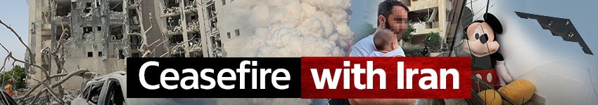
Just five days have passed since the end of the war with Iran, and some big questions still remain: By how many months or years has Iran's nuclear program been set back? Where is the large stockpile of more than 400 kilograms of 60% enriched uranium that it possessed on the eve of the war? What is the fate of the underground site in Fordow, on which the United States dropped bunker-busting bombs?
There are many answers to these questions - and none of them are conclusive - but satellite images released during the war and since its end help to gauge the major damage to Iran and its nuclear program.
Here are the images released by satellite companies documenting the nuclear sites and various sites that were damaged, before and after:
")
")
Before and after images of Arak nuclear facility
(Photo: SATELLITE IMAGE ©2025 MAXAR TECHNOLOGIES / AFP)
")
Before an after images of Shahid Rajaee University
(Photo: SATELLITE IMAGE ©2025 MAXAR TECHNOLOGIES / AFP)
")
Before and after images of Isfahan
(Photo: SATELLITE IMAGE ©2025 MAXAR TECHNOLOGIES / AFP)
")
Before and after images of Isfahan
(Photo: SATELLITE IMAGE ©2025 MAXAR TECHNOLOGIES / AFP)
")
Before and after images of Tabriz
(Photo: SATELLITE IMAGE ©2025 MAXAR TECHNOLOGIES / AFP)
")
Before and after images of Tabriz
(Photo: SATELLITE IMAGE ©2025 MAXAR TECHNOLOGIES / AFP)
")
Before and after images of Dezful airport
(Photo: SATELLITE IMAGE ©2025 MAXAR TECHNOLOGIES / AFP)
")
Before and after images of Tabriz
(Photo: Handout / © 2025 PLANET LABS PBC / AFP)