


After days of intense summer heat, Israel could see an unusually heavy spell of August rain this weekend, with forecasters warning of flash floods in parts of the country’s east and suggesting the rare weather may be an early effect of a developing “super El Niño.”
Temperatures in Israel fell by 2 to 3 degrees Celsius (4 to 5 degrees Fahrenheit) Thursday compared with the previous day and are expected to remain at similar levels Friday and Saturday. But the more unusual development is the prospect of rain — potentially heavy in some areas — during one of the driest periods of the Israeli year.

Dr. Amir Givati, director of the Israel Meteorological Service, said the main areas expected to receive rain Saturday are the Golan Heights, Jordan Valley and, in particular, the Judean Desert and Dead Sea region, a popular destination for hikers during the August vacation period.
In the Arava and southern Dead Sea region, most of the rainfall is expected between noon and 6 p.m. Saturday.
“Relatively cool air and moisture in the middle layers of the atmosphere will reach us from the direction of Greece and cause rain in eastern Israel, mainly on Saturday afternoon,” Givati said. “The models are forecasting locally heavy rainfall, and flash flooding is expected in eastern streams.”
He said the unusual conditions could be linked to broader changes associated with El Niño.
“It is very possible that we are witnessing the first effects of the ‘super El Niño’ phenomenon, which is already affecting large areas of the Northern Hemisphere,” Givati said.
How unusual is August rain in Israel?
Light precipitation during an Israeli summer is not unheard of. Givati said drizzle occurs along the coastal plain in August about once every two years.
More substantial rainfall of about 5 to 10 millimeters (0.2 to 0.4 inches) is considerably less common, particularly inland, occurring on average only once or twice a decade.
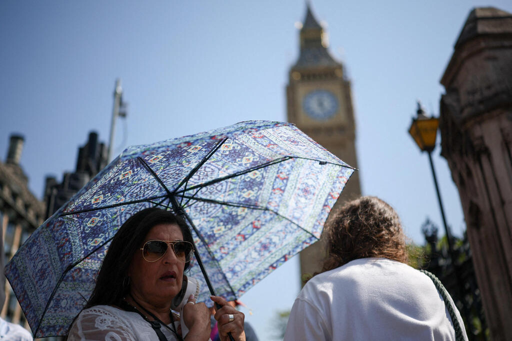
Heat wave in London
(Photo: REUTERS/Isabel Infantes)
The most recent such event was in August 2022 in the Hula Valley and Golan Heights.
But significant rainfall farther south would be far more exceptional.
“Significant rainfall in double-digit amounts in more southern areas such as Jerusalem and the Dead Sea region is already a very rare to unprecedented event,” Givati said.
Israel has a Mediterranean climate characterized by hot, dry summers, with the overwhelming majority of its precipitation falling during the cooler months. That makes the prospect of substantial rainfall in the first half of August particularly unusual.
Givati said weather models also indicate that Israel could experience a wetter-than-usual fall, another development he said may be associated with changing global weather patterns during an El Niño year.
“That doesn’t mean we’re going to become a tropical country or Scandinavia, but it will be rainier than usual,” he said.
The brief spell of rain forecast for Saturday and possibly Sunday could be an early indication of that pattern, he said.
“We said that in an El Niño year, when the world is warm, weather patterns change,” Givati said. “So we think what we will see Saturday, and perhaps Sunday, is part of that.”
He added: “The coming weeks will be different from what we have known, and we should expect a fall with significant weather events.”
Flash flood warnings issued
Even relatively brief rainfall can pose a serious danger in Israel’s desert regions. Heavy rain falling upstream can rush through normally dry streambeds and narrow canyons, creating flash floods even where little or no rain is falling locally.
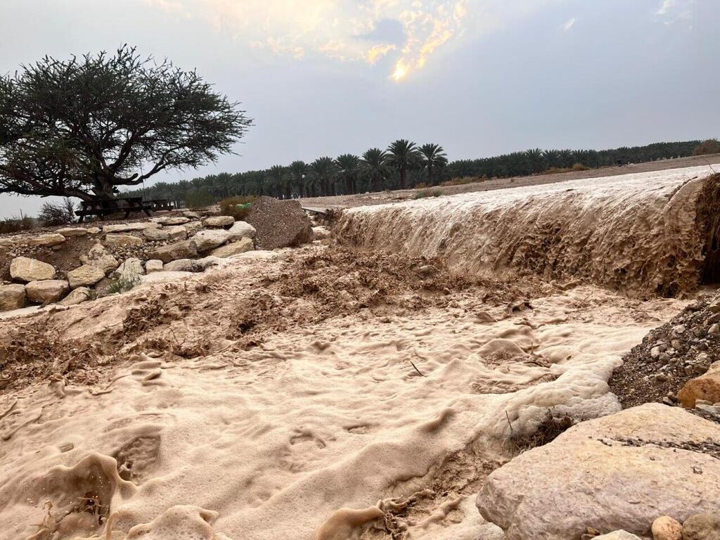
Flood in southern Israel
(Photo: Ofri Lev)
Authorities issued warnings ahead of the weekend because some of the areas most at risk are popular hiking destinations.
The Israel Nature and Parks Authority warned visitors not to enter flowing streambeds on foot or by vehicle until water levels have completely receded. It also warned people to stay away from the edges of streams during floods because banks can collapse.
“If you want to watch a flash flood, do so from a high and safe location, and do not enter the streambed or the path of the water,” the Arava rescue unit said.
Police said officers would be deployed in areas considered at risk and urged the public to reconsider unnecessary travel and avoid hiking in streams or flood-prone areas during the severe weather.
Travelers were advised to obtain current information from relevant authorities before setting out and to check for road closures and traffic restrictions.
Police warned motorists and hikers never to cross flooded roads, flowing streams, pools of water or flooded depressions, whether on foot or in a vehicle.
Entering a flowing streambed “poses a real danger to life,” police said.
The unusual forecast comes as another spell of extreme summer heat affects parts of Europe. London recorded its hottest day of the year, with temperatures reaching 39 C (102 F), while Israel was beginning to emerge from several days of intense heat.
For Israel, however, the focus is now shifting from heat to a much rarer August hazard: potentially intense rainfall over desert terrain, where even a short storm can rapidly become a dangerous flash flood.