

You do not need to travel far from central Israel for the perfect hike. Unique routes await close to home, from ancient caves to charming wineries. We also included recommendations on where to stop for food.
Etsba "Finger" Cave in the Carmel
A beautiful circular trail of about an hour lets hikers enjoy the Carmel’s winter greenery along with a bonus view of the Mediterranean Sea. The highlight is Etsba Cave, a karst cave that visitors can enter with a flashlight to see its stalactites. Note that the cave is blocked and cannot be crossed through to the other side.
Places to visit in Israel
(Video: Erez Dagan)


If children ask how the cave was formed, tell them the local legend about a giant who lived in the Carmel. Searching for honey, he pushed his finger into the cave entrance. The bees inside stung him and his finger swelled so much that he could not pull it out. After a long struggle, he finally freed it, leaving behind an opening shaped like a swollen finger.
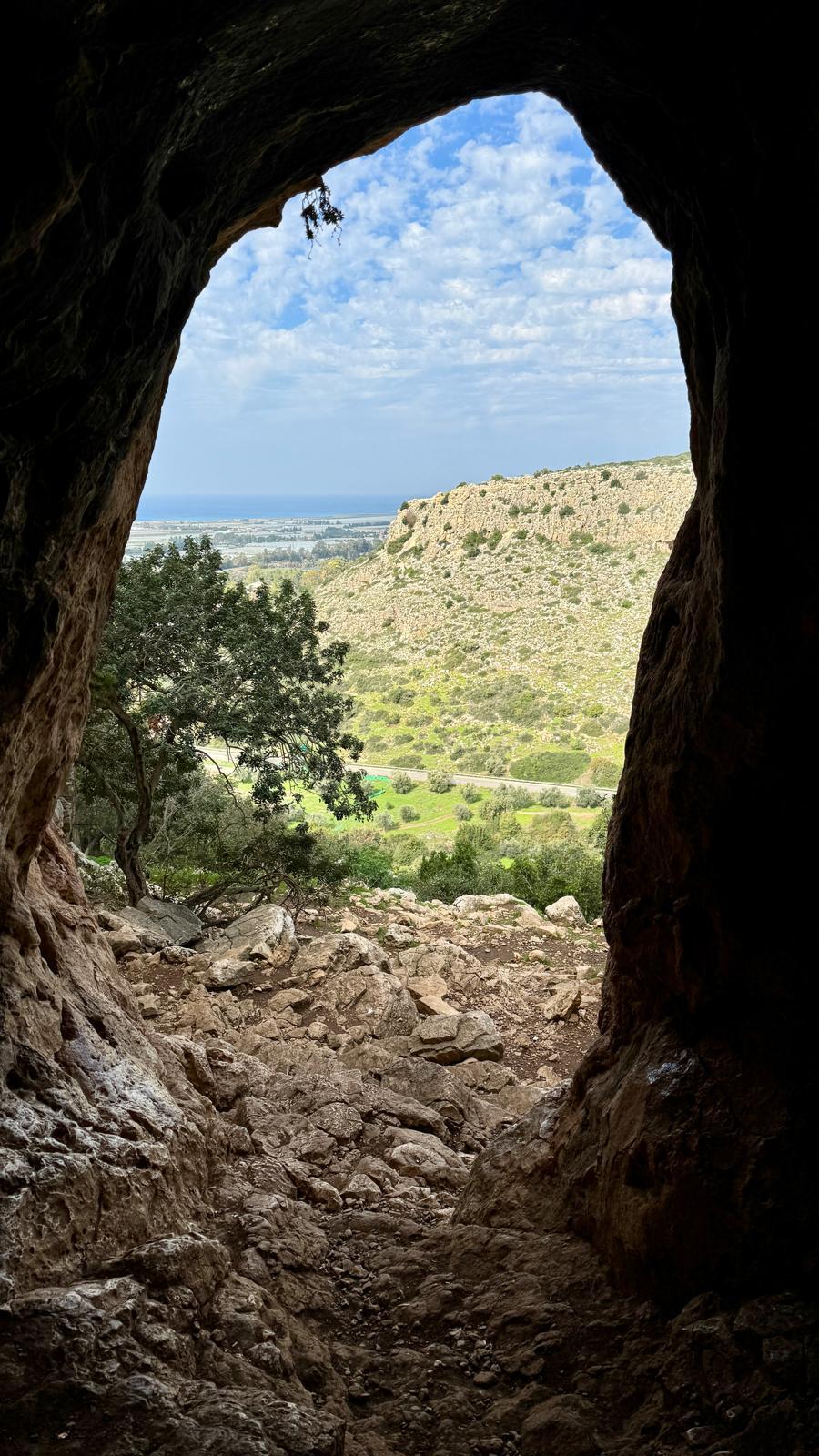
How to hike: From the parking lot, walk west toward the sea on the black trail marker beginning near a pedestrian bridge. Climb the steps until you spot a British guard post from the Atlit detention camp, then continue to Finger Cave. From there, climb to the southern Carmel ridge overlooking moshav Megadim and Prison Six. Shortly after the highest point, turn left onto the black trail marker, not the Israel Trail, and descend toward Oren Stream. Most of the descent is shaded and passes through lovely woodland, but caution is needed due to rocky terrain. After about 30 minutes, you will reach the stream and a Mekorot drilling installation beside a blue trail marker leading to the endpoint.
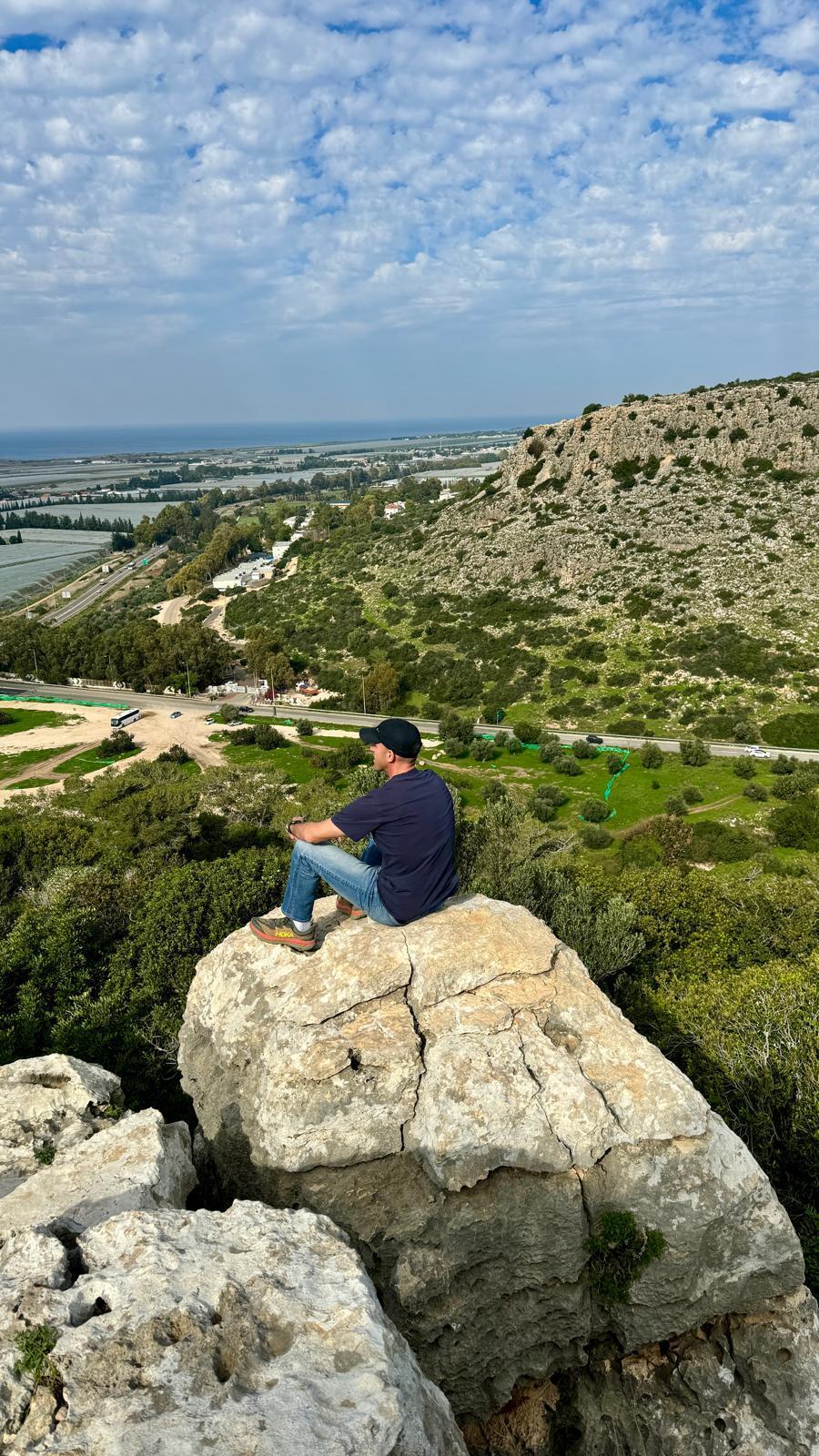
Etsba 'Finger' Cave area
(Photo: Courtesy of Erez Dagan)
Getting there and details: Enter “Oren River Parking - Carmel Park” in Waze. Free entry. About 1.5 hours, 2.5 km. On Saturdays and holidays, parking costs NIS 36.
Where to eat nearby: Amphorae Winery, Cafe Zahara in Ein Carmel, Uma Bar in Zikhron Yaakov, Schwartzman Dairy in Bat Shlomo and Truck BaMoshava in Bat Shlomo.
Sharon Beach Nature Reserve
Between Herzliya and Netanya lies a beautiful nature reserve that serves as a habitat for plants and wildlife, including the mountain gazelle. The reserve stretches 1,200 meters long and about 400 meters wide and is popular with residents of the Sharon and central regions.
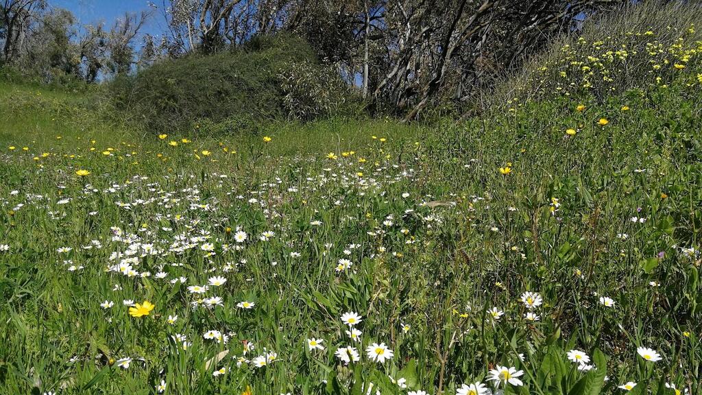
Visitors can spot sea squill flowers and desert broom plants, familiar from the Negev but also found in the reserve’s sandy terrain. In February, one of Israel’s rarest and most striking flowers blooms along the kurkar (the rock type of which lithified sea sand dunes consist) ridge: the purple iris, symbol of the Society for the Protection of Nature in Israel.
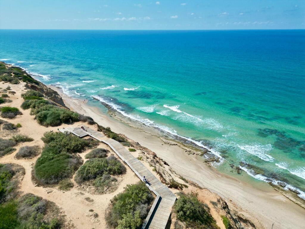
Sharon Beach Nature Reserve
(Photo: Erez Dagan)
The hike is short and easy. Its highlight is a romantic wooden deck overlooking the Mediterranean from above, a spot often used for marriage proposals.
How to hike: After parking, enter through the small gate and immediately turn left onto the red trail marker. Walk on the sand for about 10 minutes to the deck on the kurkar ridge overlooking the sea. The recommendation: stop for a picnic and enjoy the sea breeze, quiet surroundings and spectacular view.
For a circular hike of about an hour, continue another 10–15 minutes on the red trail along the ridge, then turn right onto the black trail marker and right again back toward the parking lot. Just before the parking area, you will pass a dune that can be a great attraction for children.
Sharon Beach Nature Reserve
(Photo: Assaf Rosen)
Getting there and details: Enter “Hof HaSharon Southern Entrance” in Waze. Parking is west of Shefayim Hotel. Free entry. Full route: about 1.5 hours, 2 km. Circular trail.
Where to eat nearby: Cafe Veyam in Shefayim, Burger Saloon at Yakum Junction.
The Hidden Forest at Ein Mata
In the Jerusalem hills near Beit Shemesh is a short trail overlooking a beautiful wadi, beside which a small spring flows mainly in winter and spring. The real surprise, however, is the hidden forest filled with hundreds of Washingtonia palm trees planted decades ago as part of an agricultural experiment and now abandoned.
The hike takes about 30 minutes each way and is ideal for children who enjoy playing hide-and-seek in the woods.
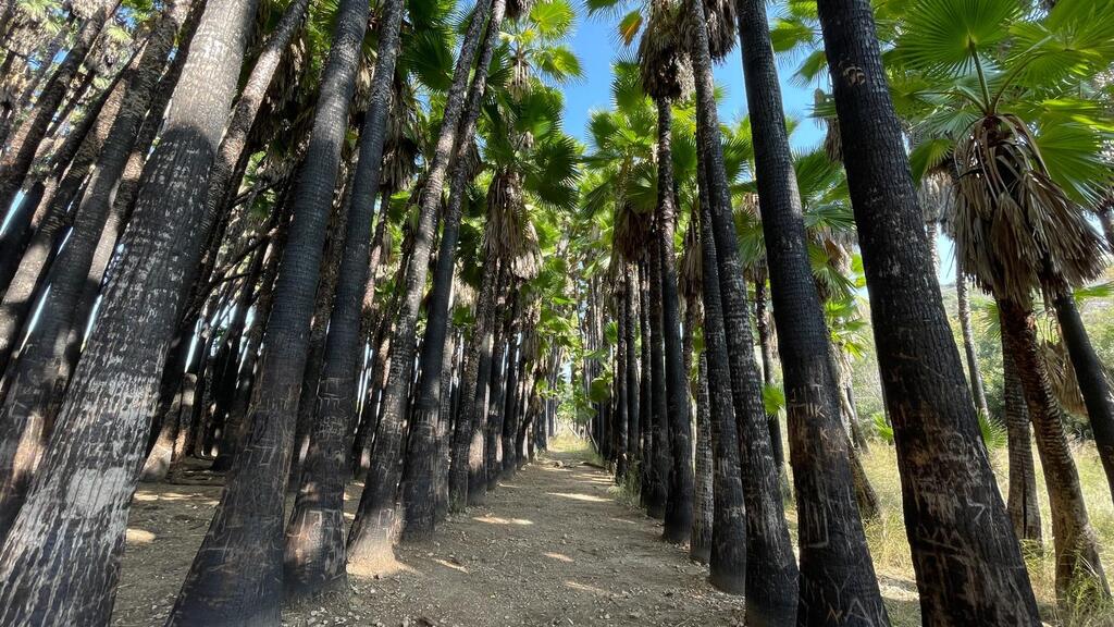
Ein Mata
(Photo: Erez Dagan)
How to hike: From the parking lot, head right toward the red trail descending into the wadi. After 20–30 minutes of walking, you will reach the spring near old eucalyptus trees. The recommendation is to continue another minute past the spring to discover the abandoned forest.
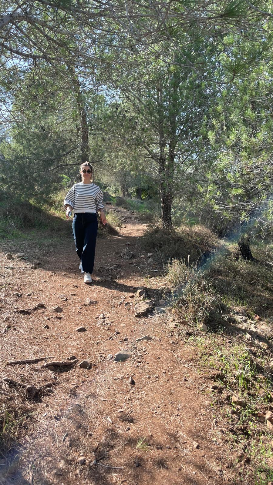
Ein Mata
(Photo: Erez Dagan)
Getting there and details: Enter “Hurvat Hanut” in Waze.
Where to eat nearby: Bar Bahar, Zafririm Winery and Agur Winery.
Harut Hill in Ramon Crater
Whether you live in the south, center or north and decide to head south, a relatively short walk leads to a mountaintop in the heart of the world’s largest erosion crater, offering panoramic views in every direction. Winter is the ideal season to visit, though pay attention to trail markers — there are many, and this may be Israel’s shortest route with the most trail markings.
How to hike: There are two options: a 2.5 km out-and-back route taking one to two hours, or a 5.5 km circular trail taking two to three hours.
From the organized parking lot, follow the black-marked jeep trail to a lone acacia tree. From the tree, which you will return to later, take the blue trail and climb from Ardon Stream to the plateau above. At the trail junction, choose the red marker for a demanding 100-meter ascent, then turn onto the green trail leading to the viewpoint.
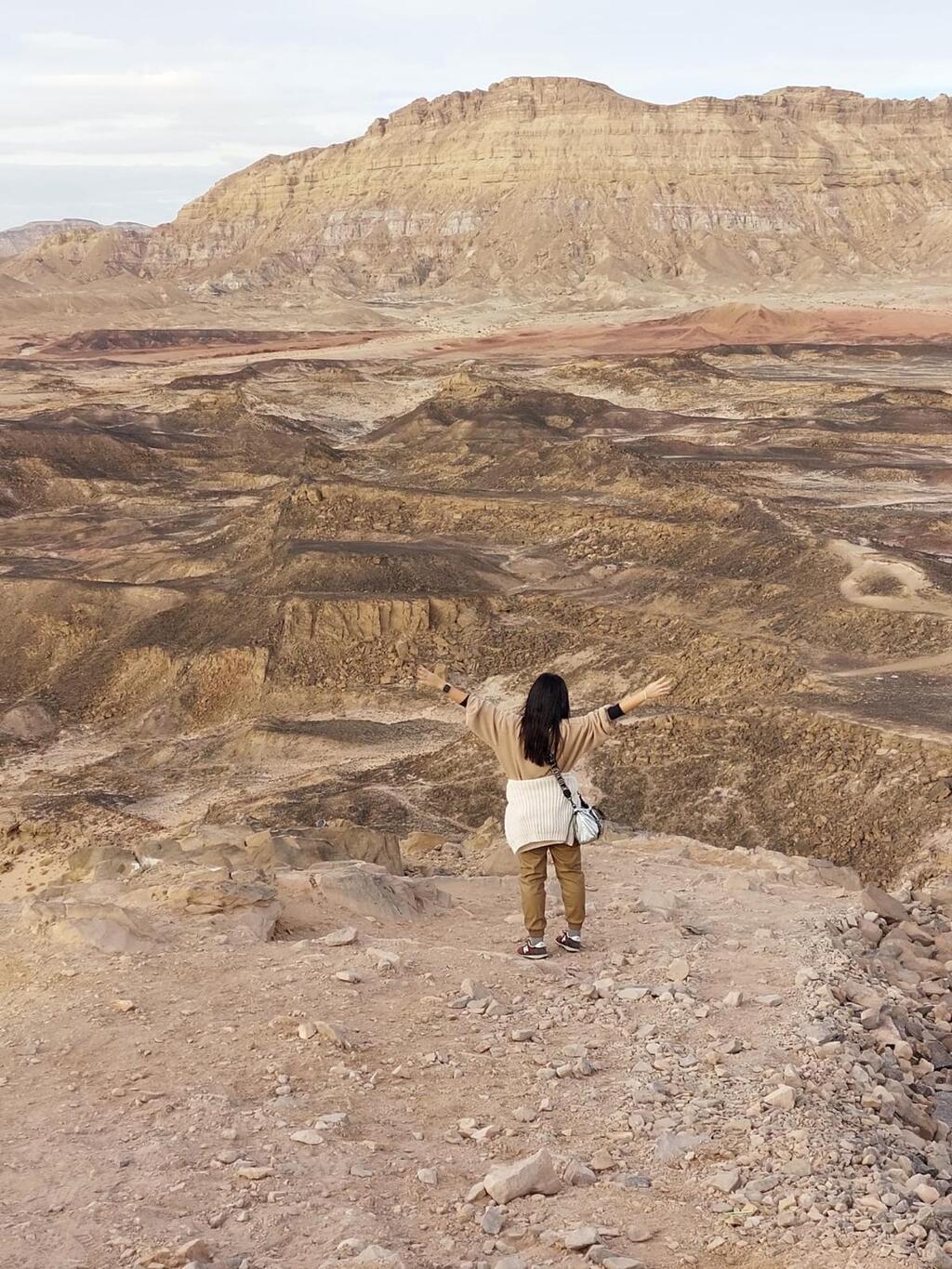
Harut Hill in Ramon Crater
(Photo: Erez Dagan)
From Harut Hill’s summit, hikers get a panoramic view of Ramon Crater and Mount Ardon to the north.
After enjoying the lookout, you can either retrace your steps via the green, red, blue and black markers for the 2.5 km option, or descend on the green trail and turn right onto the red trail, continuing down to the stream and a black-marked gravel road in Ardon Stream.
Before turning right toward the lone acacia tree and the parking lot, consider a short five-minute walk leftward to see the famous dikes — vertical rock layers cutting through otherwise horizontal formations. If the geology explanation sounds unclear, the formations will make it obvious when you see them.
After taking in the colorful geological phenomenon, return along the black trail through Ardon Stream to the acacia tree and continue back to the parking lot.
Getting there and details: Enter “Ramat Saharonim Day Parking, Ramon Crater” in Waze. The route via Ramon Colors National Park is recommended. Trail markers to the summit: black, blue, red, green.
Where to eat nearby: Cafe Kibbutz, Hakatze, Hahavit and Sumsumiya.
- Former high-tech worker turned travel blogger Erez Dagan dedicates most of his time to helping travelers reach some of the most beautiful destinations in Israel and around the world.